
Trip Report: 9 Days, 3 Rivers Bob Marshall Wilderness
Miles Hiked: 78 Miles
Miles Paddled: 20 Miles
Early July
Sun River 350cfs
White River <300 cfs
SF Flathead River 5500cfs
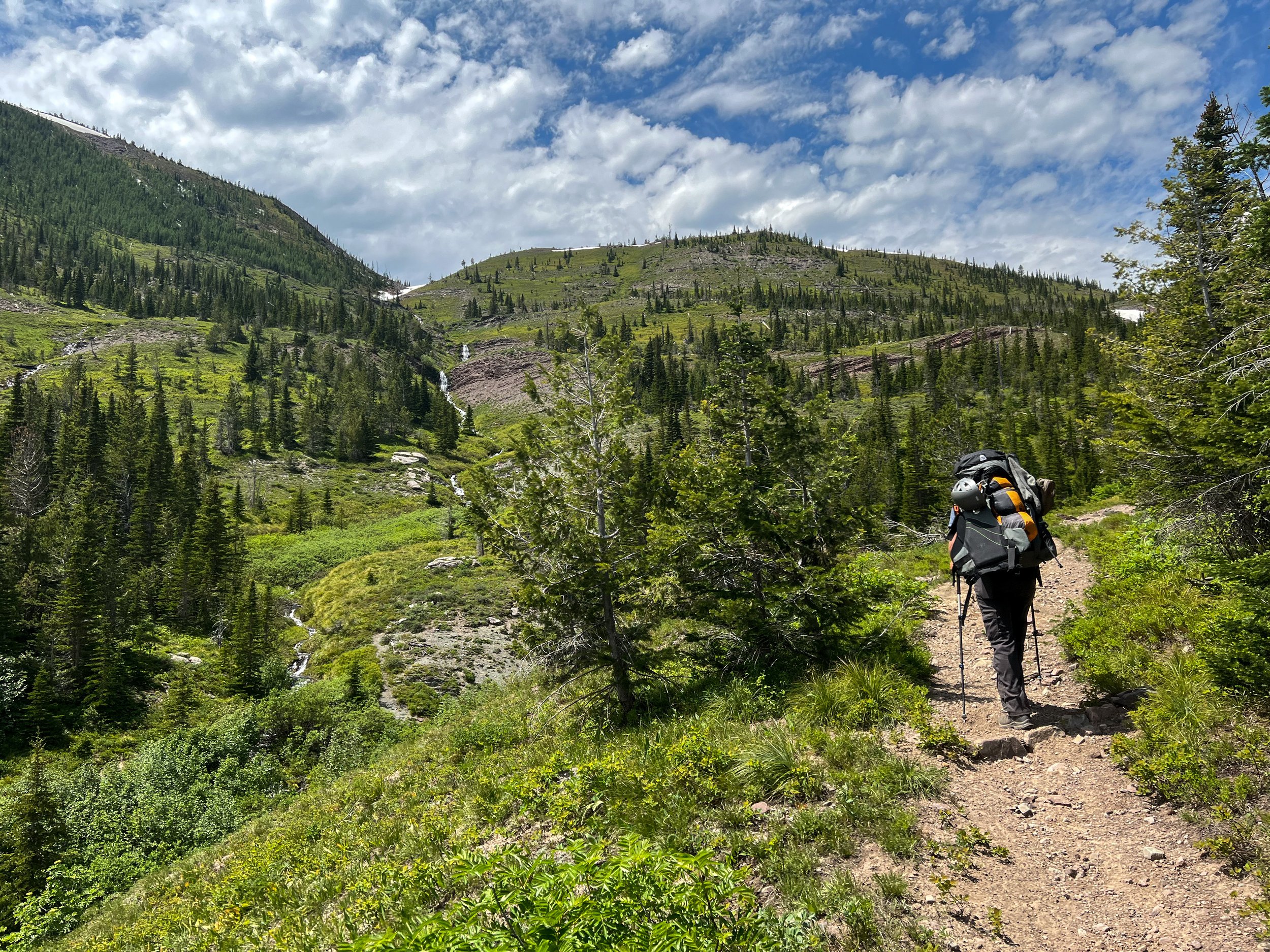
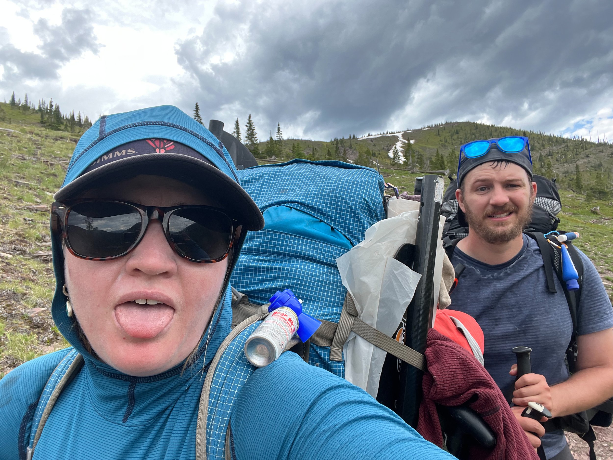
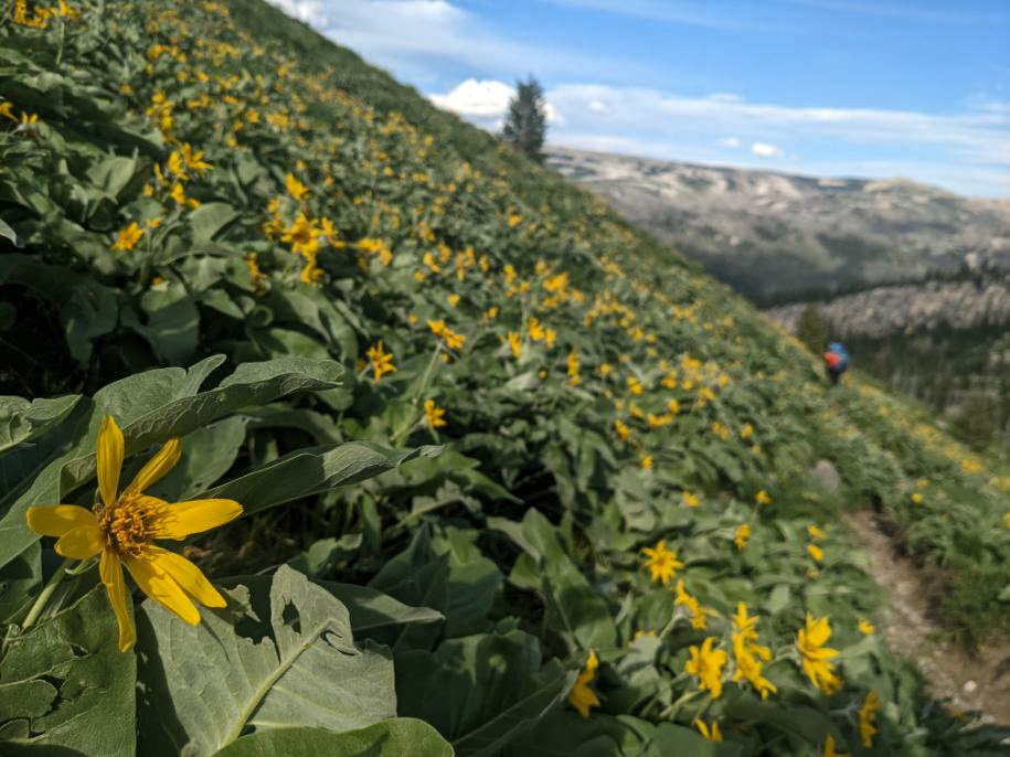
Day 1: Benchmark – Reef Creek
The morning started with a few hours drive from Great Falls to Benchmark. The drive from Great Falls follows an interstate to Augusta, MT. From there, you turn on a well graded gravel/dirt road about another 45 minutes to Benchmark.
We parked at the trailhead, did our last poops, and said goodbye to the truck around 10:00am. The Benchmark trailhead is large, with an upper and lower lot, as well as overflow and stock parking. The Benchmark Campground is also at this location.
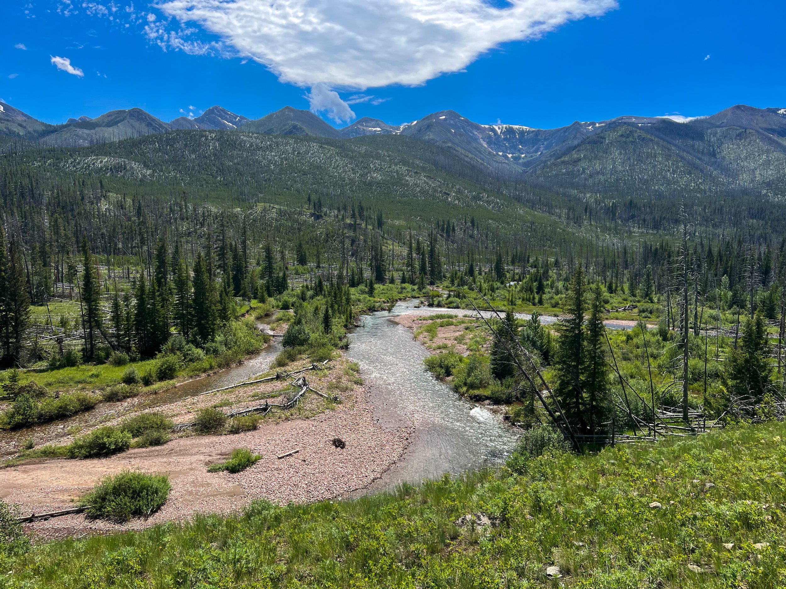
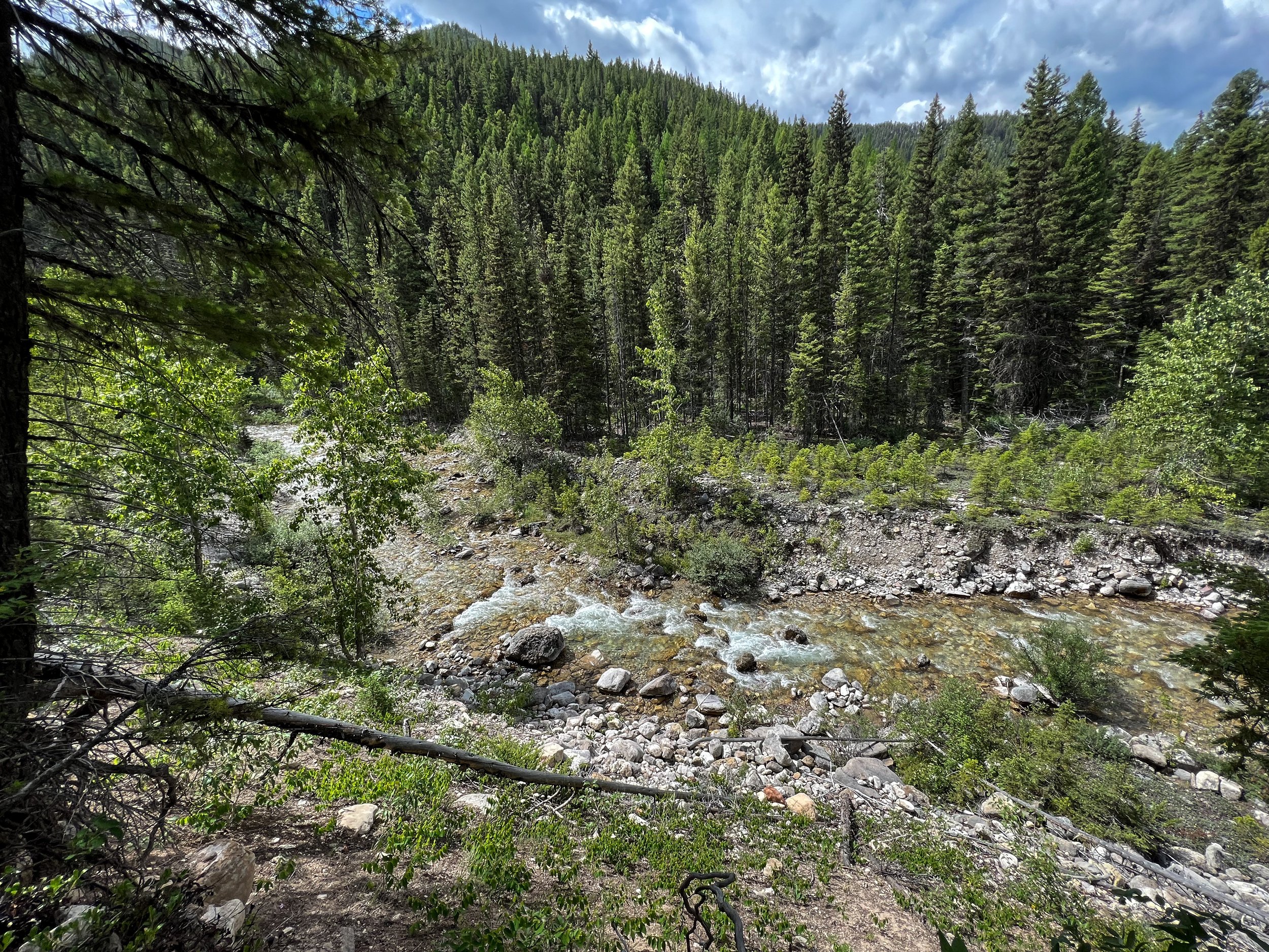
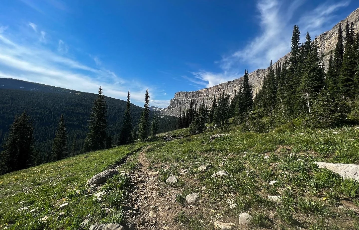
Since it had been raining for two days already, the trail started very muddy, and full of stock animals and hired trips up to the Chinese Wall. Luckily, we lost most of this traffic after Benchmark! The trail follows the South Fork of the Medicine (Sun) River, and after a few miles, crossing the famous Bob Marshall Wilderness Bridge, the trail opens from a dense forest to a huge open new growth forest from a previous burn. This section of the trail is very exposed and hot!
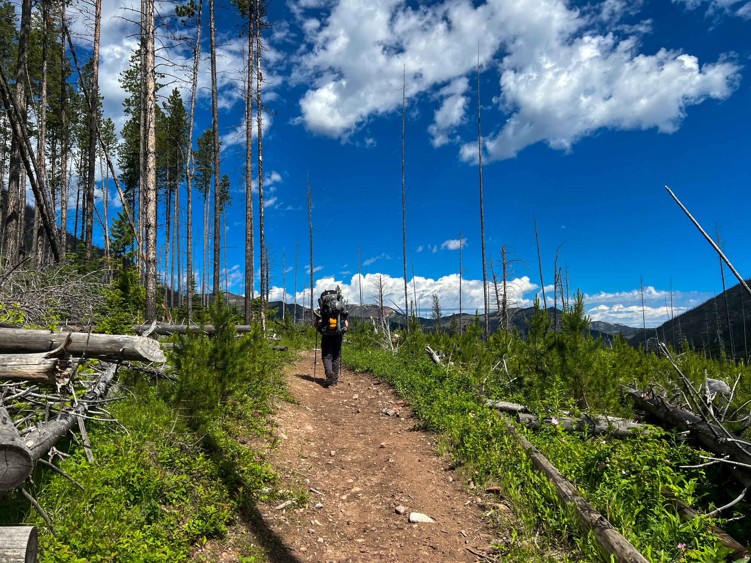
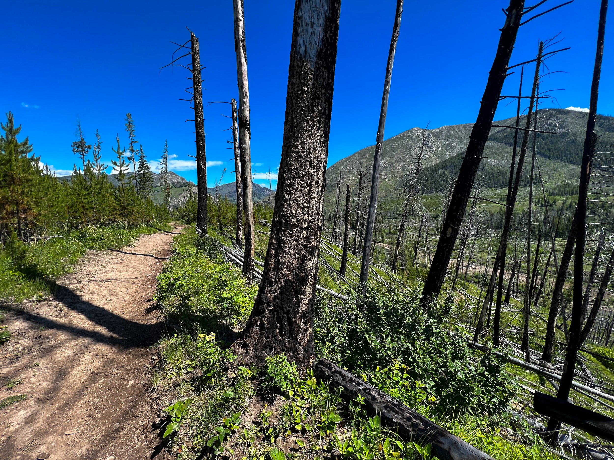
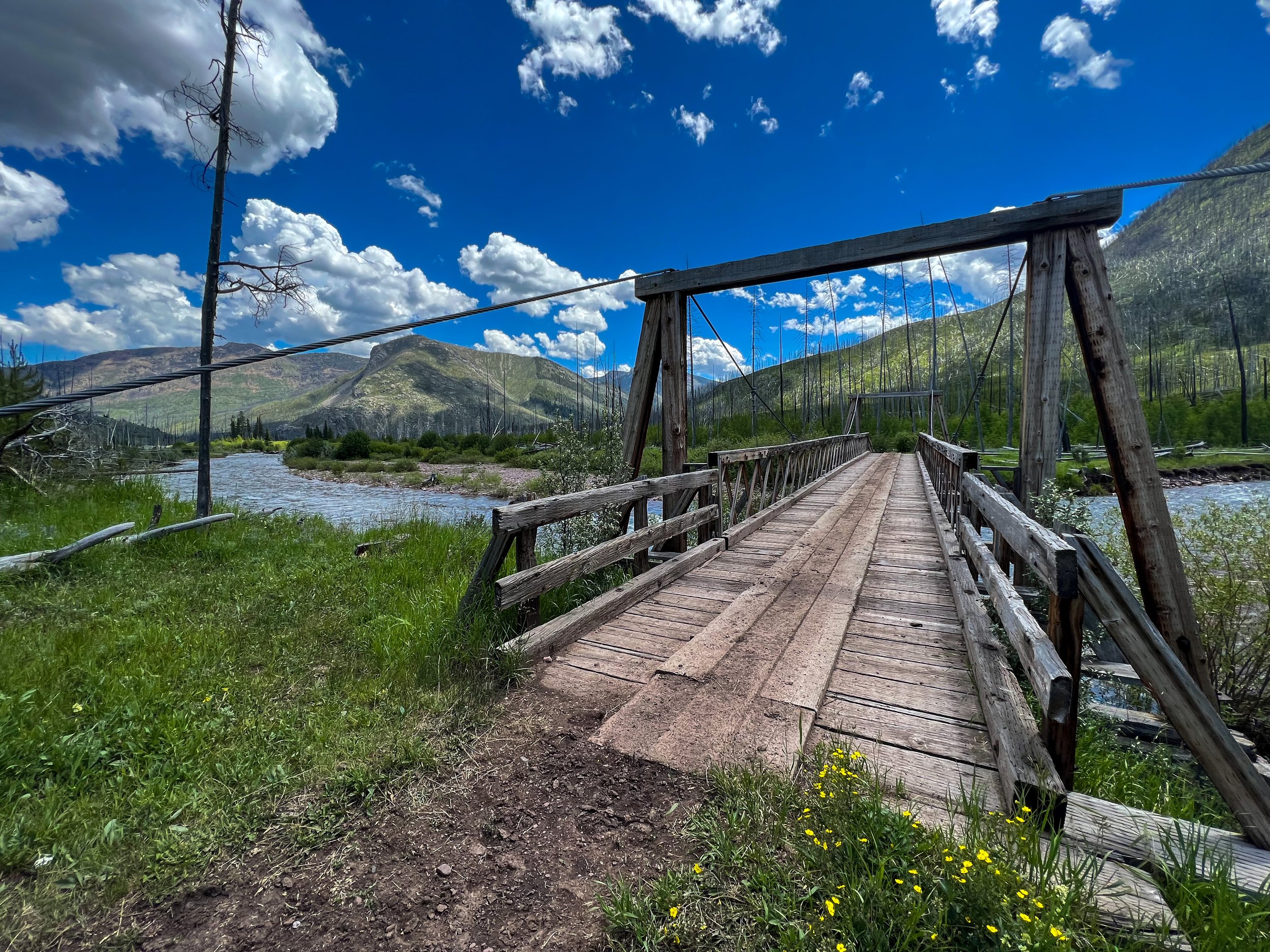
After about 5 miles, the trail crosses another stunning bridge at West Fork Sun River. We stopped here under the shade of the bridge to grab lunch. We continued to climb slowly up the valley, towards the headwaters of the West Medicine (Sun) river, and the trail intersection to White River Pass. We had hoped to make it down to the river crossing, but did I mention I lost my boots on the top of the truck and I was hiking in Keens? Normally, this wouldn’t phase me, but they gave me very little stability under such a heavy pack and going was slow the first few days. We eventually decided to call it quits for the day around Reef Creek, finding a lovely campsite tucked in a meadow above the creek. This was one of the only times we got a little rain on the trip!
Day 2: Reef Creek - White River Pass - Molly Creek
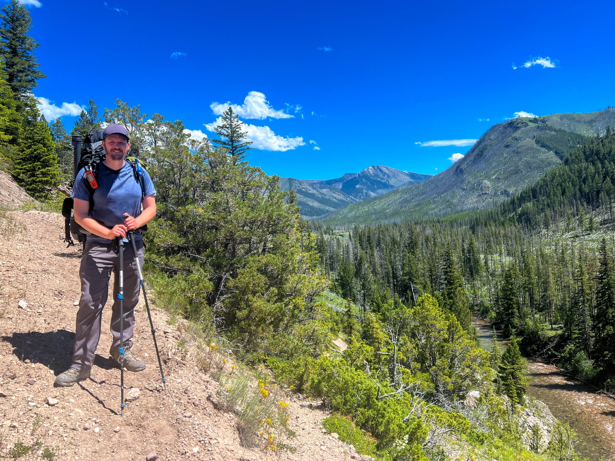
Day 2 we started early and ready to go! We had a few miles before starting the trail up the pass, and wanted to be on the summit by 1:00pm, leaving ample time to get down the other side of the pass. The weather was predicting a possibility of afternoon storms, which thankfully didn’t show up until evening because it was an incredibly long day up the pass. Don’t get me wrong, the trail was stunning, very well maintained, and a really manageable climb, but holy shit I really forgot how slow you go when you’ve got the equivalent of mountaineering packs on. I keep emphasizing this not because we were hurting, but we didn’t really factor in the possibility of going this slow the first few days until we ate some food weight, so it’s something to consider.
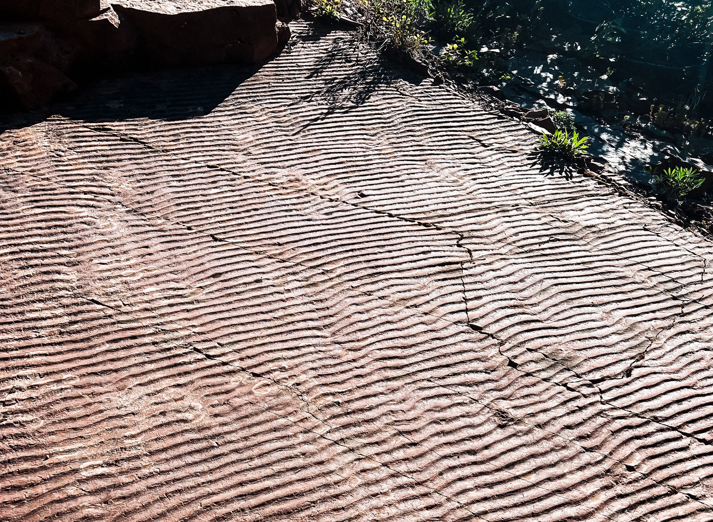
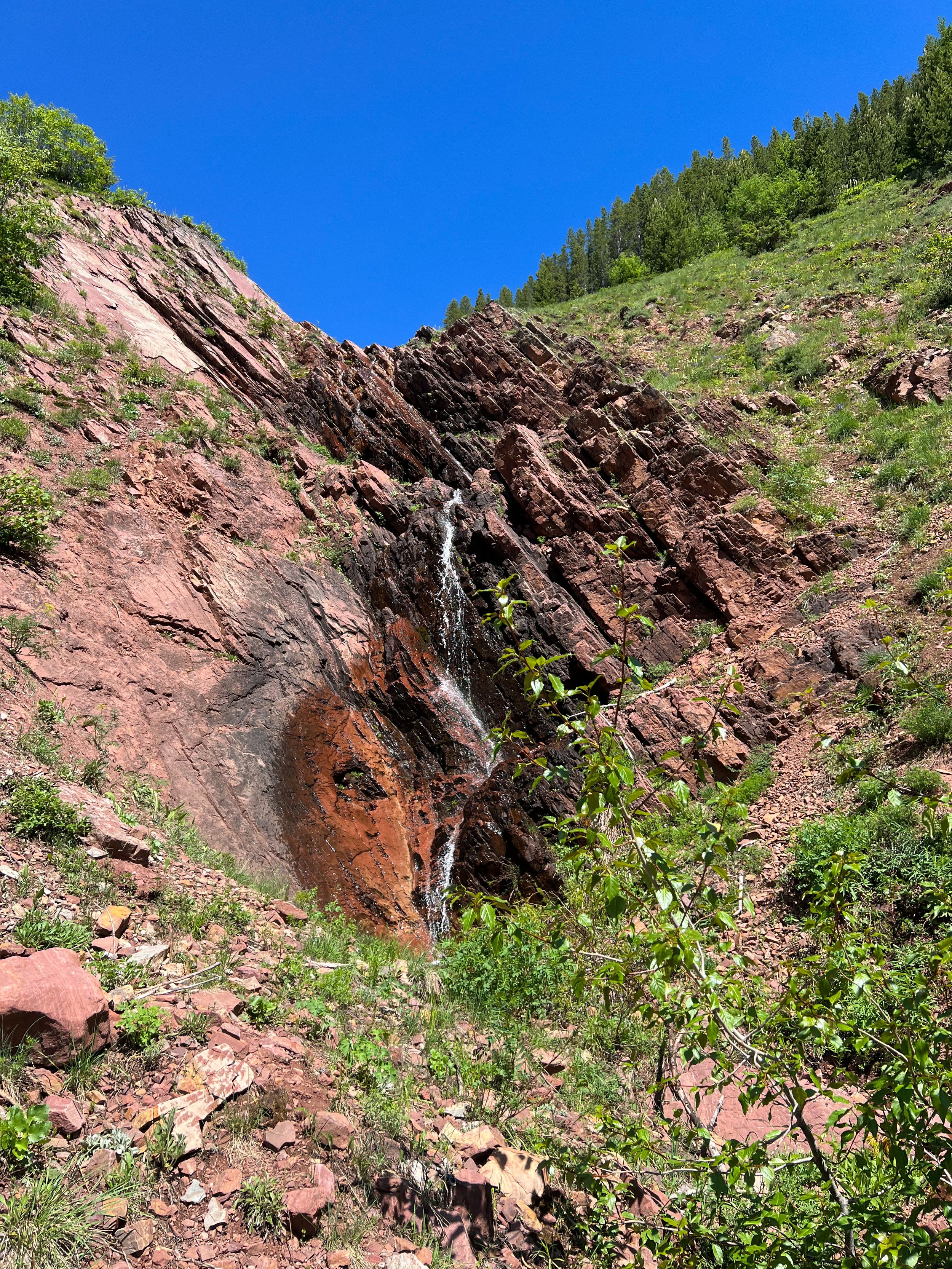
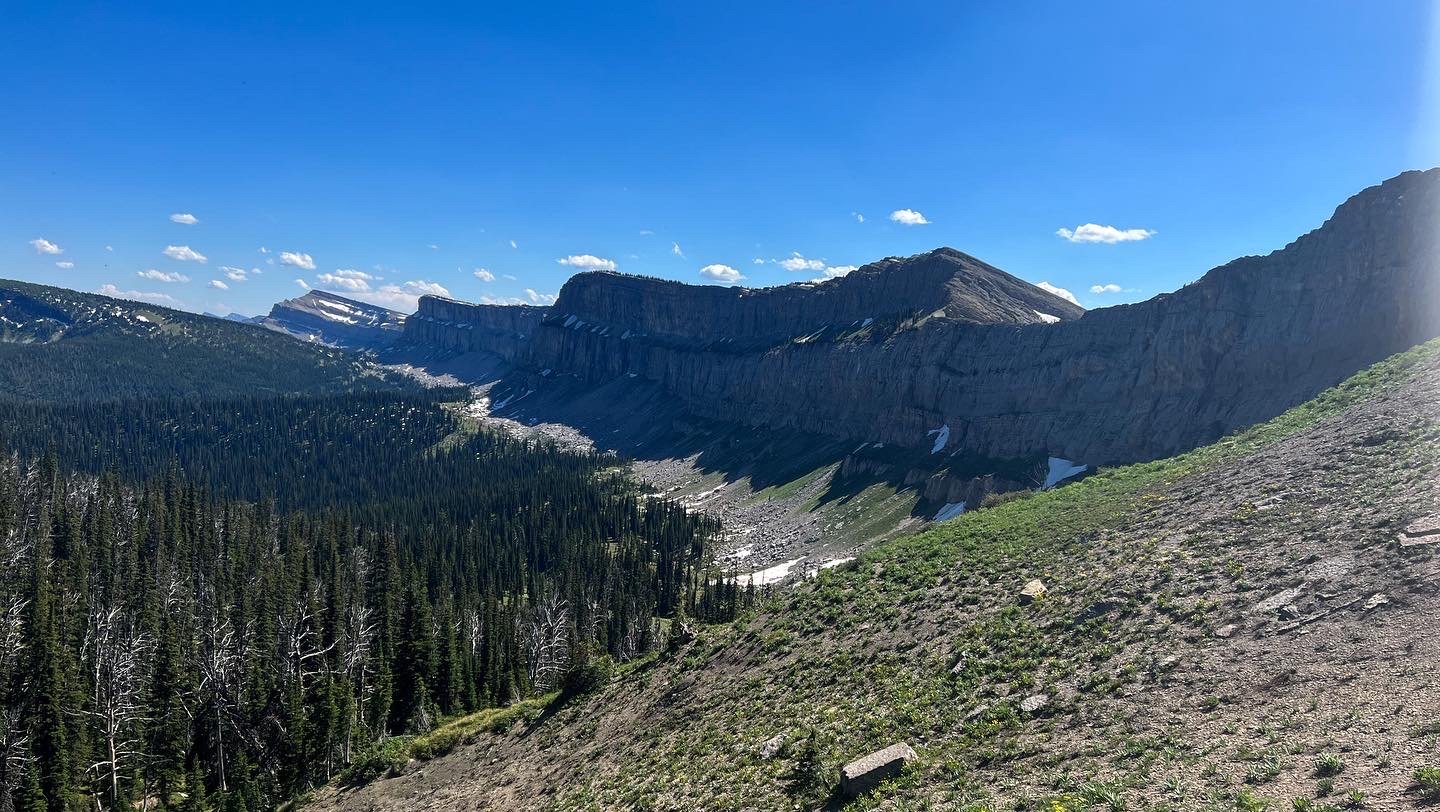
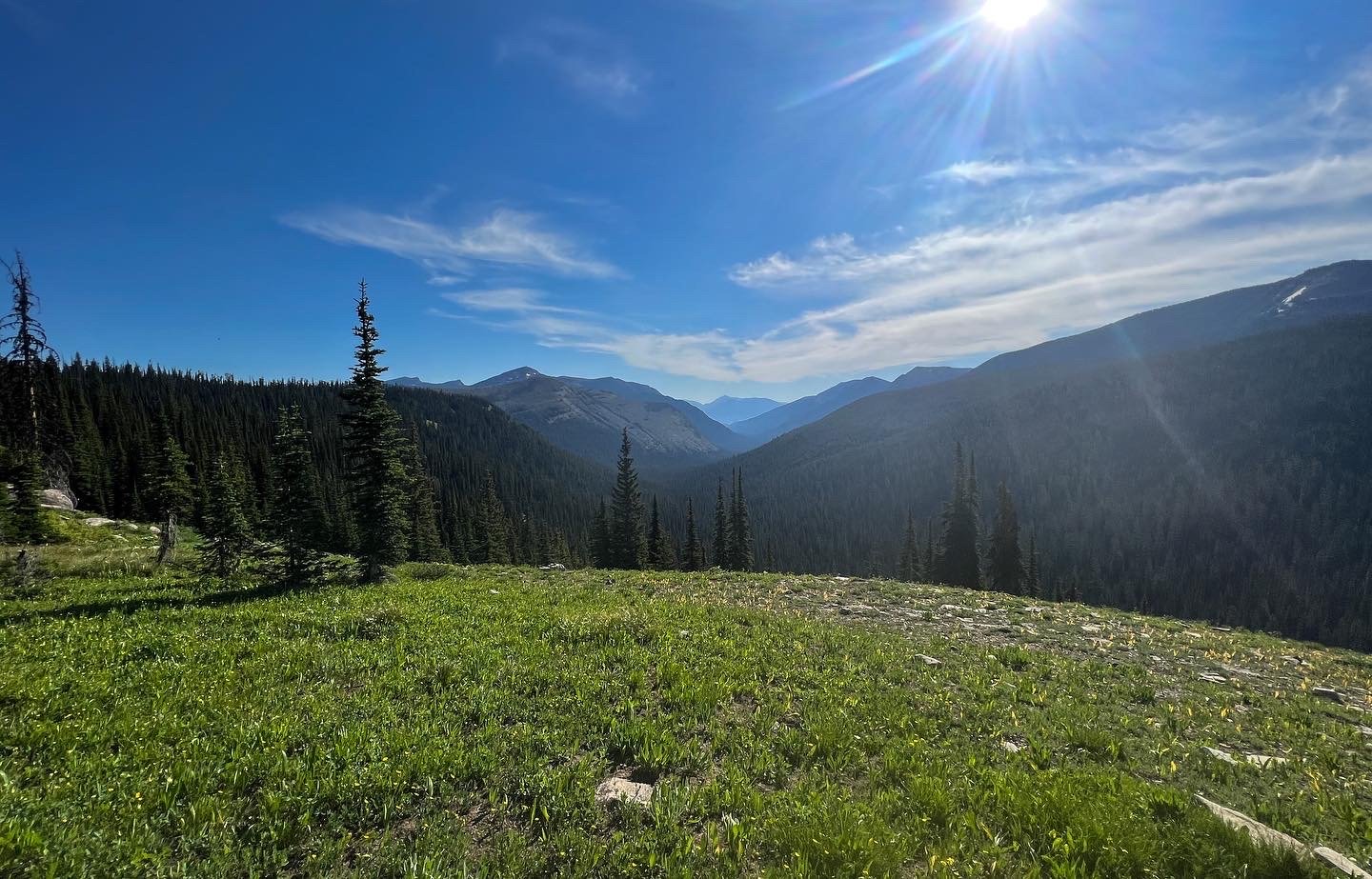
The trail climbs the valley that form the headwaters of the West Fork Medicine (Sun) River. The geological formations in this area are stunning and what appears to be just another water-carved rock is actually a large fossil of the ocean floor! Seasonal waterfalls dotted the landscape, at times 5-6 were visible in one glance up the trail. Water was no issue, we carried only 2L at a time. The last ½ mile to the summit the trail becomes a bit steeper, but it was a gentle slope all things considered! And then, just like that, we were on the summit of White River Pass! To the west we saw the Flathead Alps, the headwaters to the White River which would eventually lead down to the South Flathead- our primary goal.
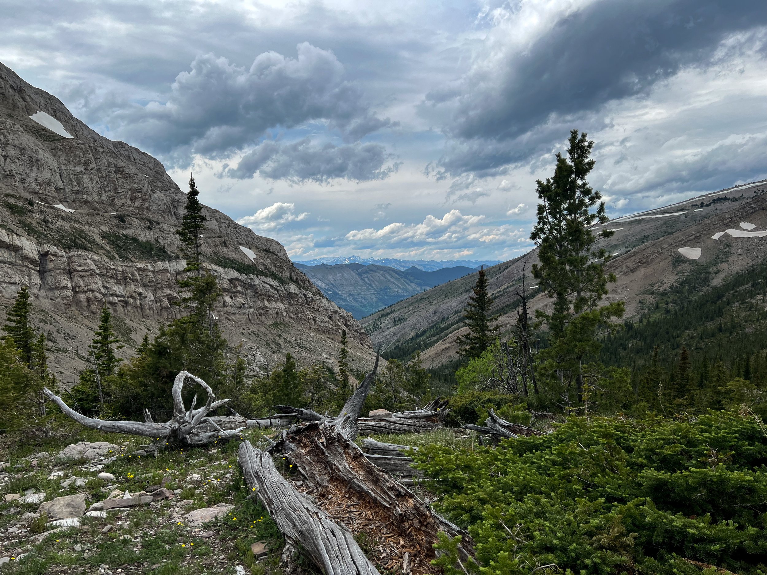
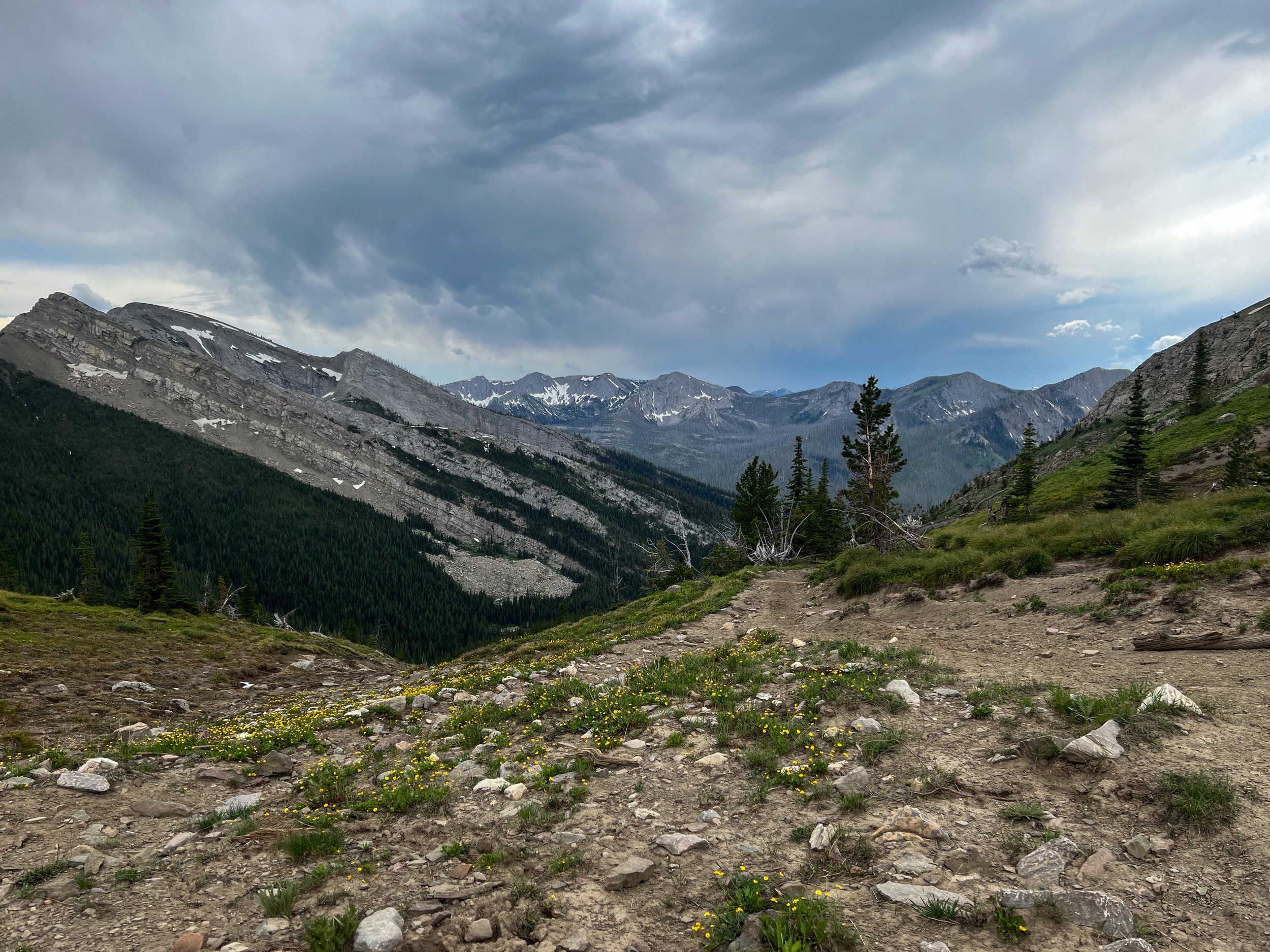
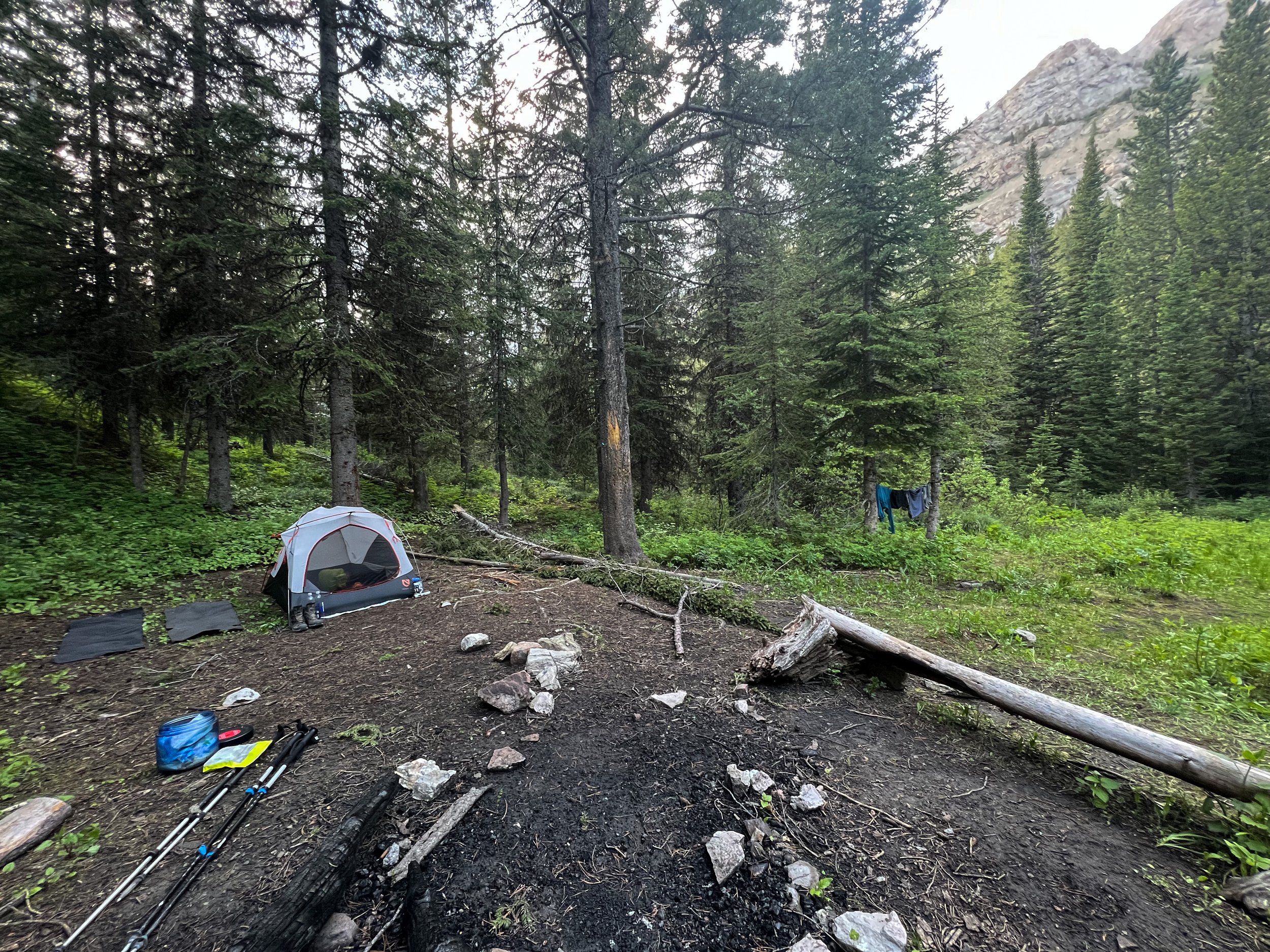
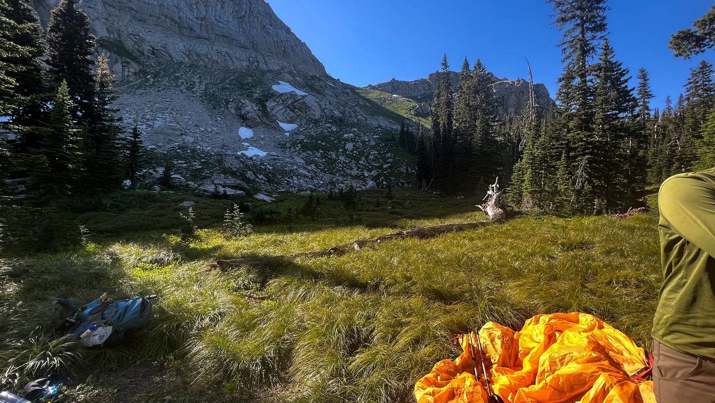
Once we summited (later than expected around 3:00pm), we bombed down the backside of the pass to the treeline at Molly Creek. Luckily the trail from White River Pass down to the confluence is well marked and easy to follow! We planned on going a few more miles to the confluence with the White River, but a storm was rolling in and we stumbled upon a killer campsite behind Molly Creek, so another well-earned early night. If you’ve ever been backpacking in Olympic National Park, you would think you were in the Hoh. Moss hangs from every tree, rare mountain orchids line the trail, the smell of the forest permeates every breath. We made camp, did dinner, yoga, and went to bed all in about 90 minutes.
Day 3: Molly Creek – White River
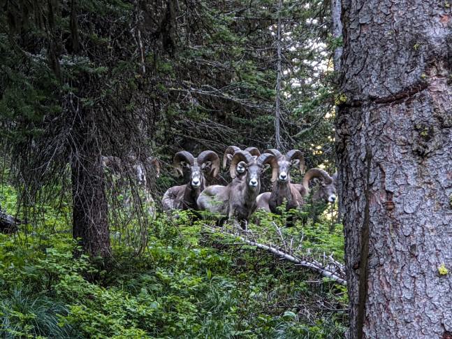
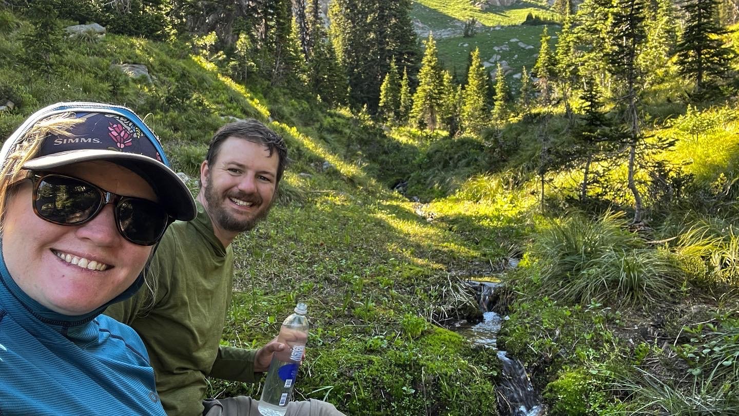
We woke up with a hint of excitement, probably more nervousness, because today was the day we were going to reach the White River! And, it was mostly downhill. We packed up a very damp camp and were treated to a small herd of big horn sheep pass us by on the hillside. I will admit, I casually mention it, but this was top 3 coolest wildlife interactions I’ve ever had. They were headed up the hillside and all of the sudden we both noticed each other, and one by one they came back to just stare at us, not afraid, just staring. So for about 2 minutes, we were all just mammals on planet earth doing a vibe check, which was pretty cool.

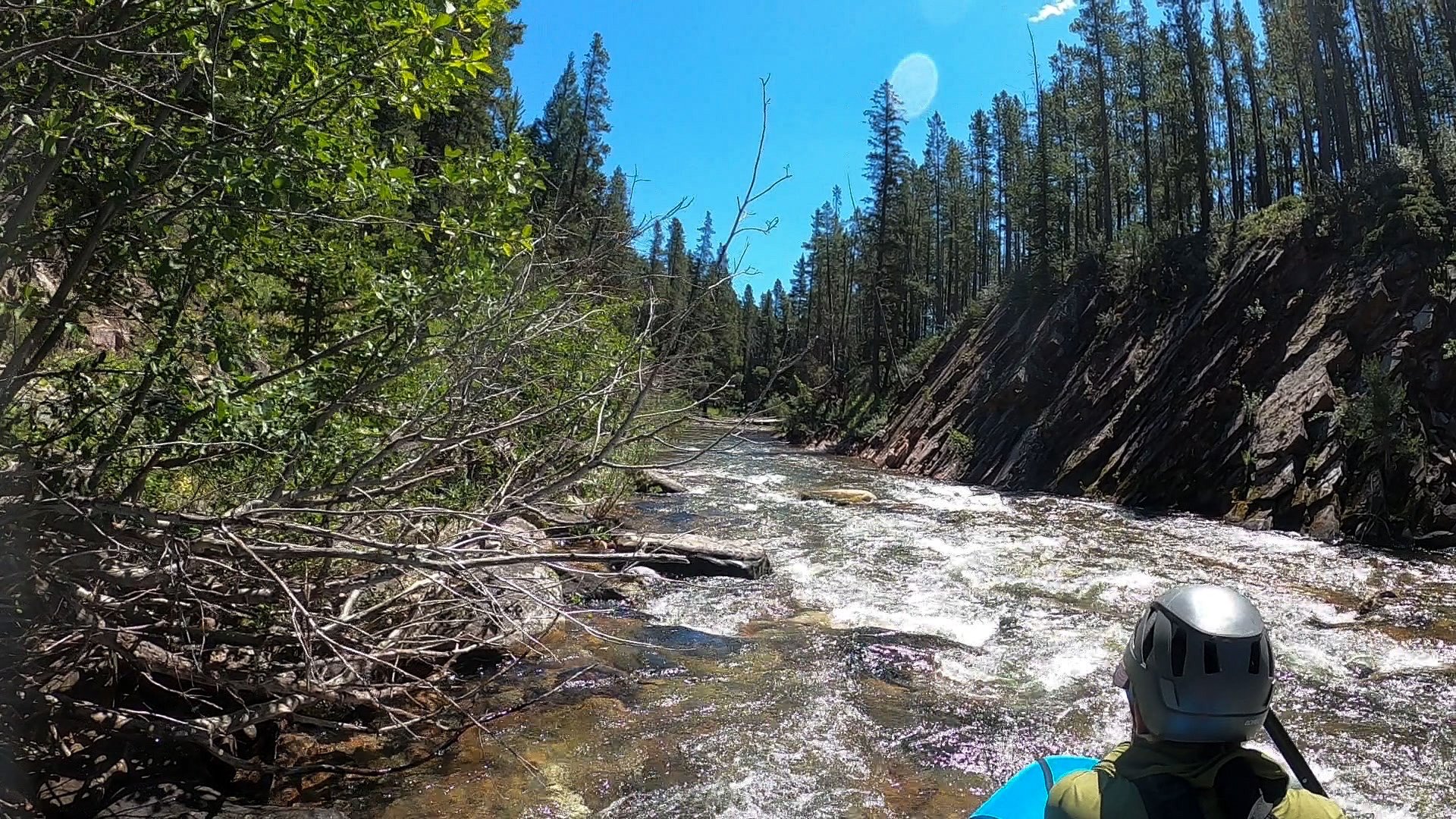
A few miles after the creek, the trail dries up a little as the valley opens and you can start to see the creek that will eventually become the river. The descent is steady, but not painfully steep. It’s a forested trail with lots of shade. Eventually, the trail will veer to the left, on trail to the right will lead you to an outfitter’s camp. Don’t worry, the only thing you’re missing there is piles of human excrement from the paying customers and nosey bears from bad bear hang practices. The trail crosses Molly Creek a couple times before coming to a major river crossing at the White River. (If you are reading this for backpacking purposes- you NEED a boat to cross at this intersection between the North and South River Trails). This river crossing (5 Miles up river from the confluence) is the standard put-in to packraft the White. We decided to stay on the south side of the river and save ourselves an hour digging out the boat just to cross. We hoped to find a little better water.
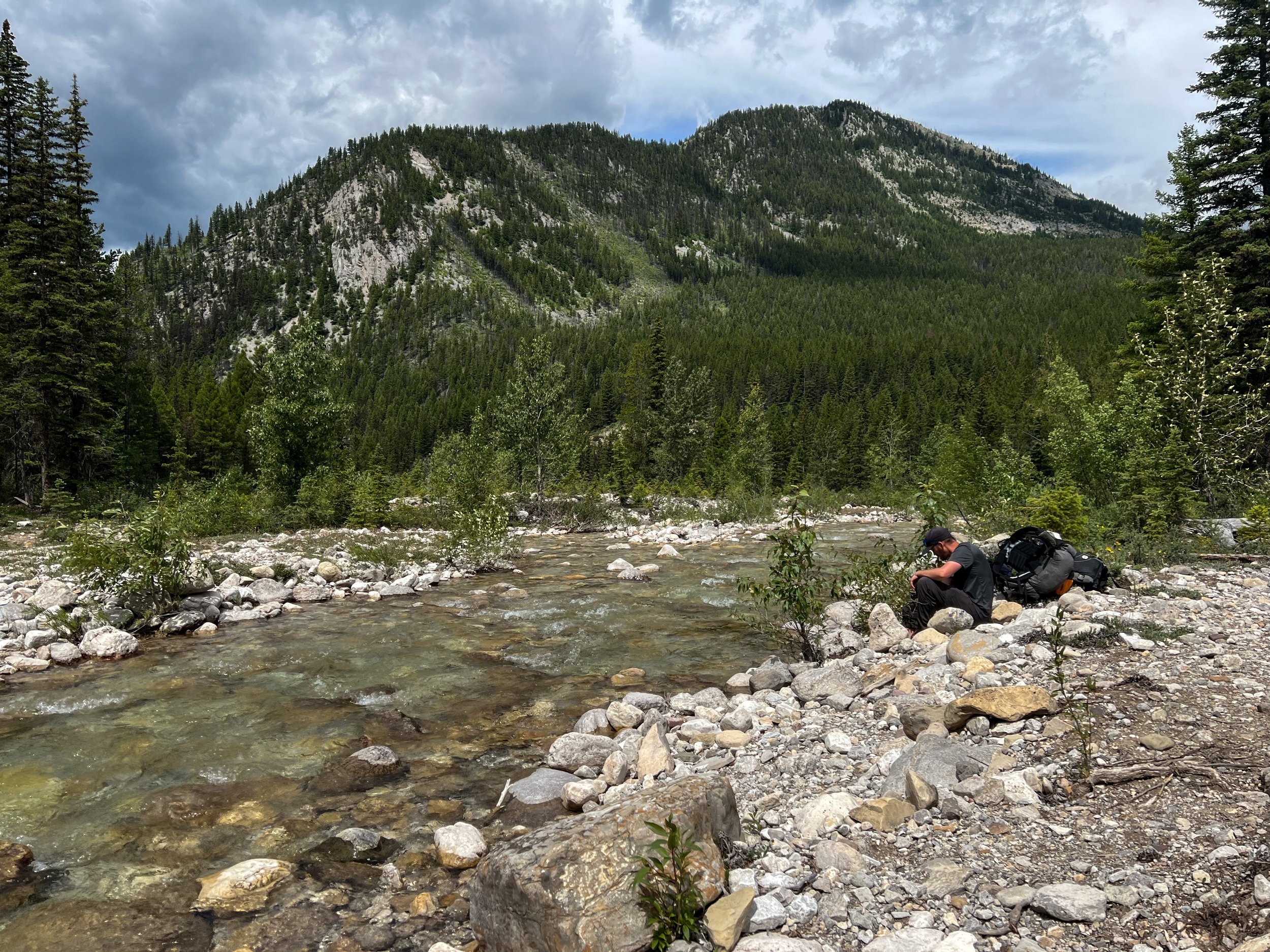
We decided it was too shallow to run here, and made a plan to hike down the river towards a better put in. The trail follows the river on and off, but we were able to talk to some people who had hiked the north side from the confluence and were told there were several possible portages, as well as a mandatory portage around a log jam around mile 2.5 from the confluence.
From the trail, I tried to take note of the river’s features for people who are interested in running it. It was bouldery AF. It was the most peppered of the 3 rivers we ran on this trip. The gradient can be quite steep at times, with a lot of constrictions made by boulders or logs. I saw one huge strainer around river mile 2.5ish? The river comes to a constriction on river left with a sandbar on river right for an easy portage.
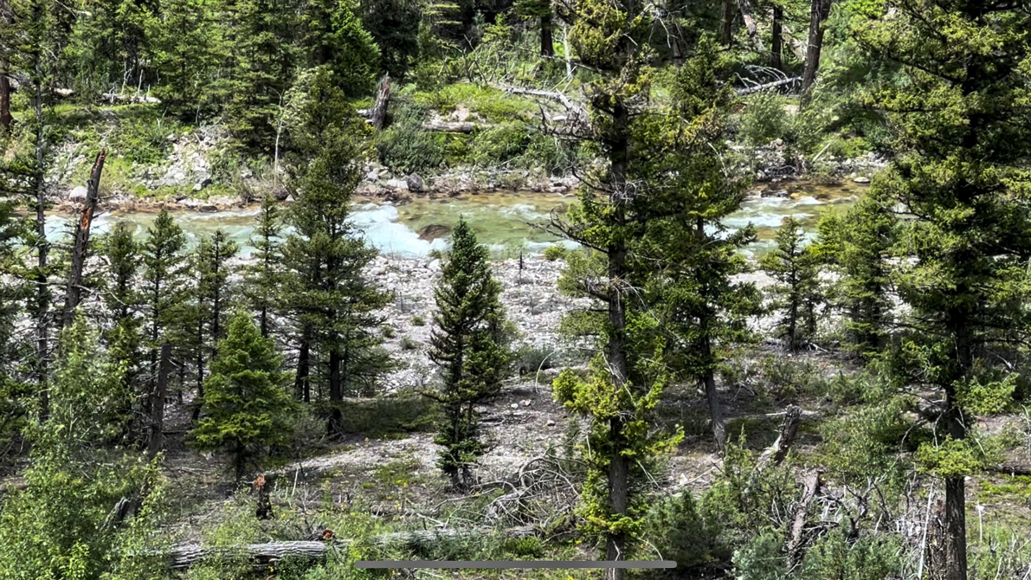
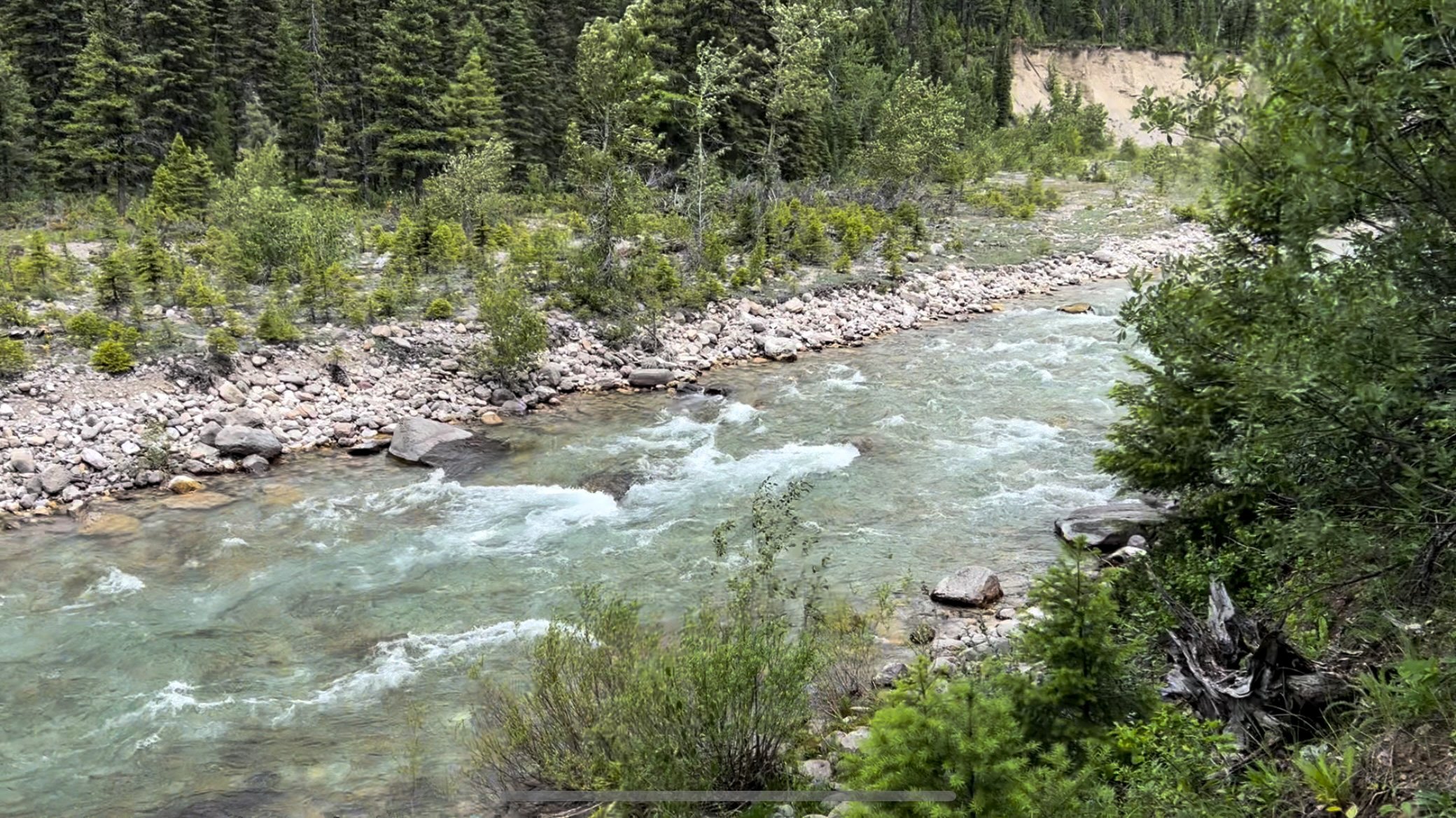
Unfortunately, the more we hiked down the river, the bonier it got. We realized there was very little chance of us paddling the river with our Forager full of another 7 days worth of food, so we found an established campsite along the river to relax and fish for the afternoon. It was a pretty devastating blow to me, as I really wanted to try some Class III wilderness run, but it was more of snag & drag for even the lightest, empty day boaters.
*We met a lot of packrafters who were on South Flathead, and did a side quest up the White River or summited Haystack Mountain and then paddled back down.
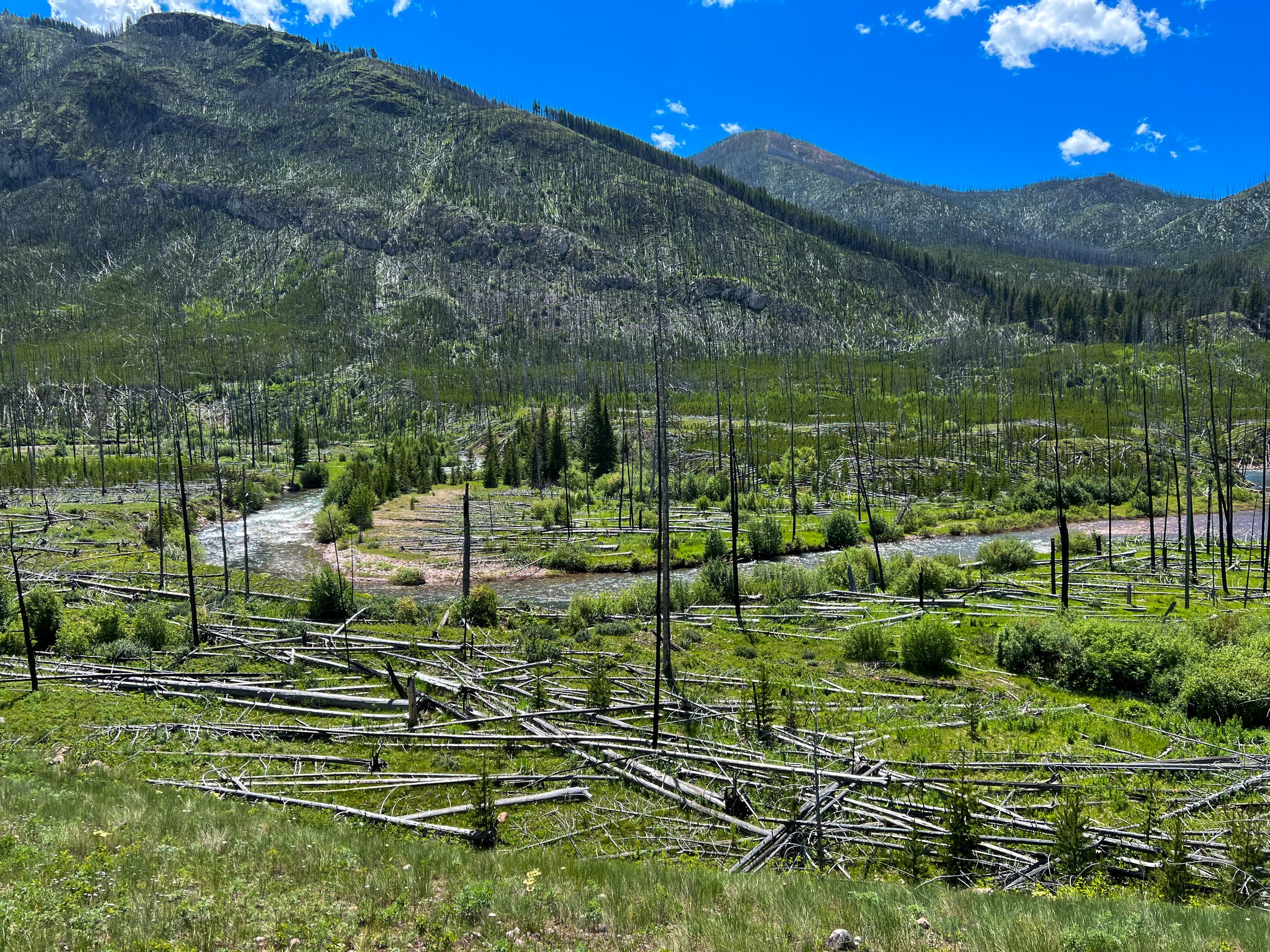
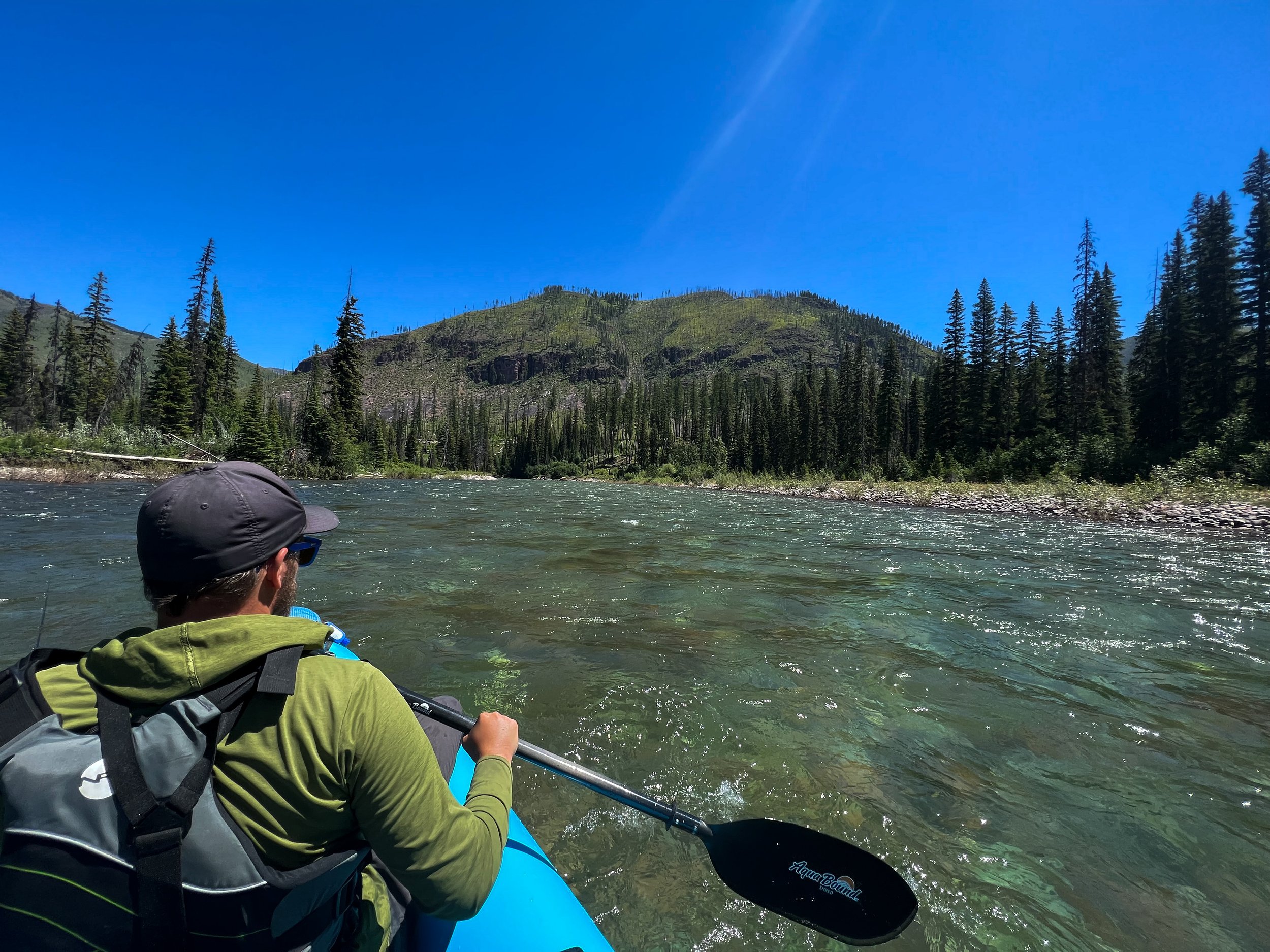
Day 4: White River – South Flathead River

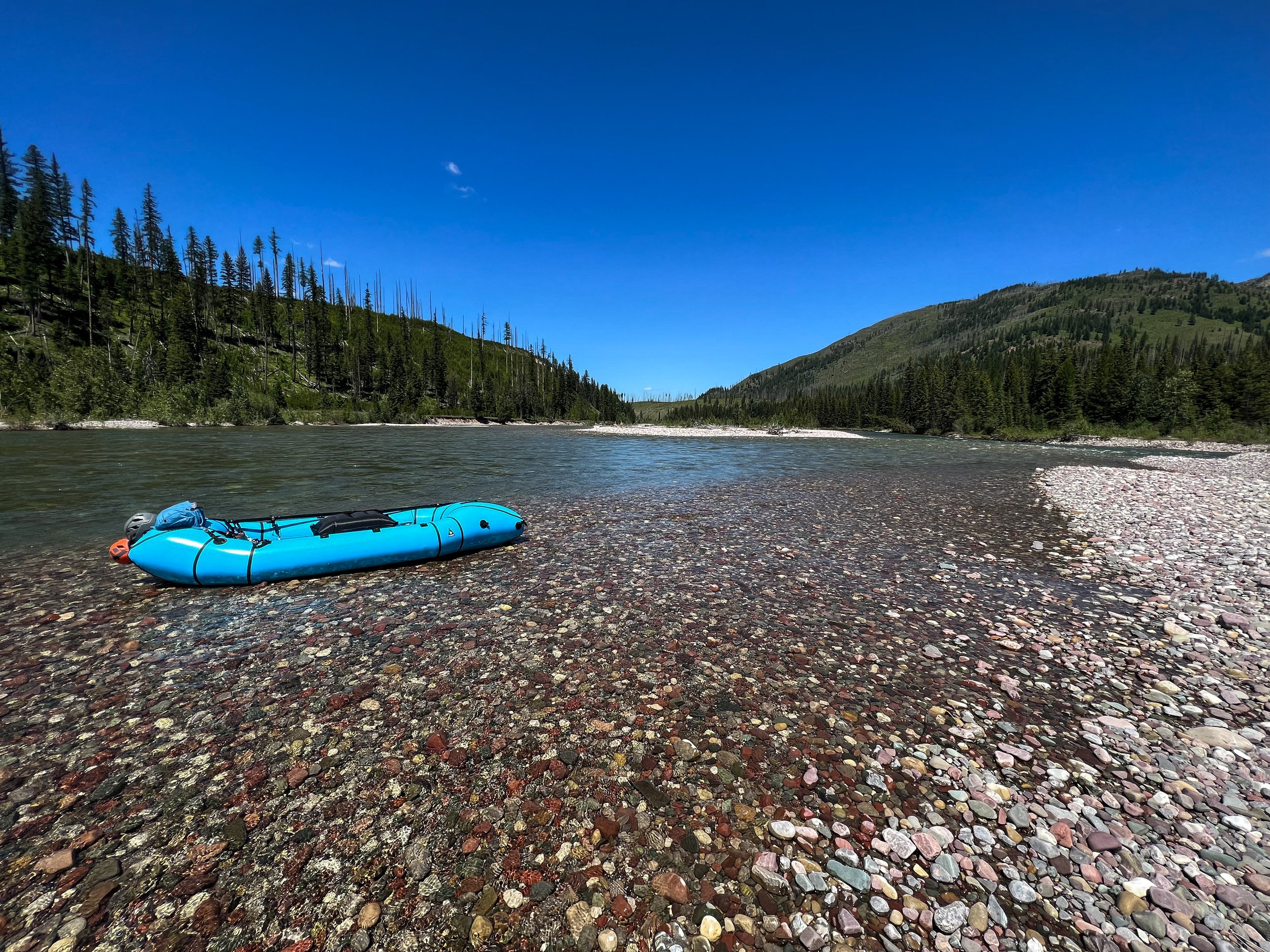
FINALLY! Some paddling! The trail transitions from forest to prairie along the confluence of the White River and South Flathead. The Bob has many well worn stock trails that go unmarked on maps. We followed one of these trails down to the river banks, crossed to the gravel bar, and got to work transitioning to the boat.
We brought a couple 30L osprey stuff-sacs and 1 set of our tube stuff sacs to make distributing the weight easier. It also helps hold all of the gear together inside the tubes (we did not use these on the West Fork and our gear kept sliding from front to back of the tubes!). The Forager zipper is so much bigger than our single rafts, so putting the backpacks in was a breeze. We put anything sharp or bulky, like our bearcan and our trek poles into a backpack, then in our contractor bag, and into the boat! All in all, it only takes about 20 minutes to transition from backpacking to the boat.
We brought our “boat tarp”, aka some garden plastic, and it was immensely helpful to prep gear for boating and cover gear at night. Instead of fighting to tuck our crap into a vestibule, we covered both of our packs in our boat tarp and went to bed every night! It also helps with everything going into the boat clean. 10/10 worth the 4oz.
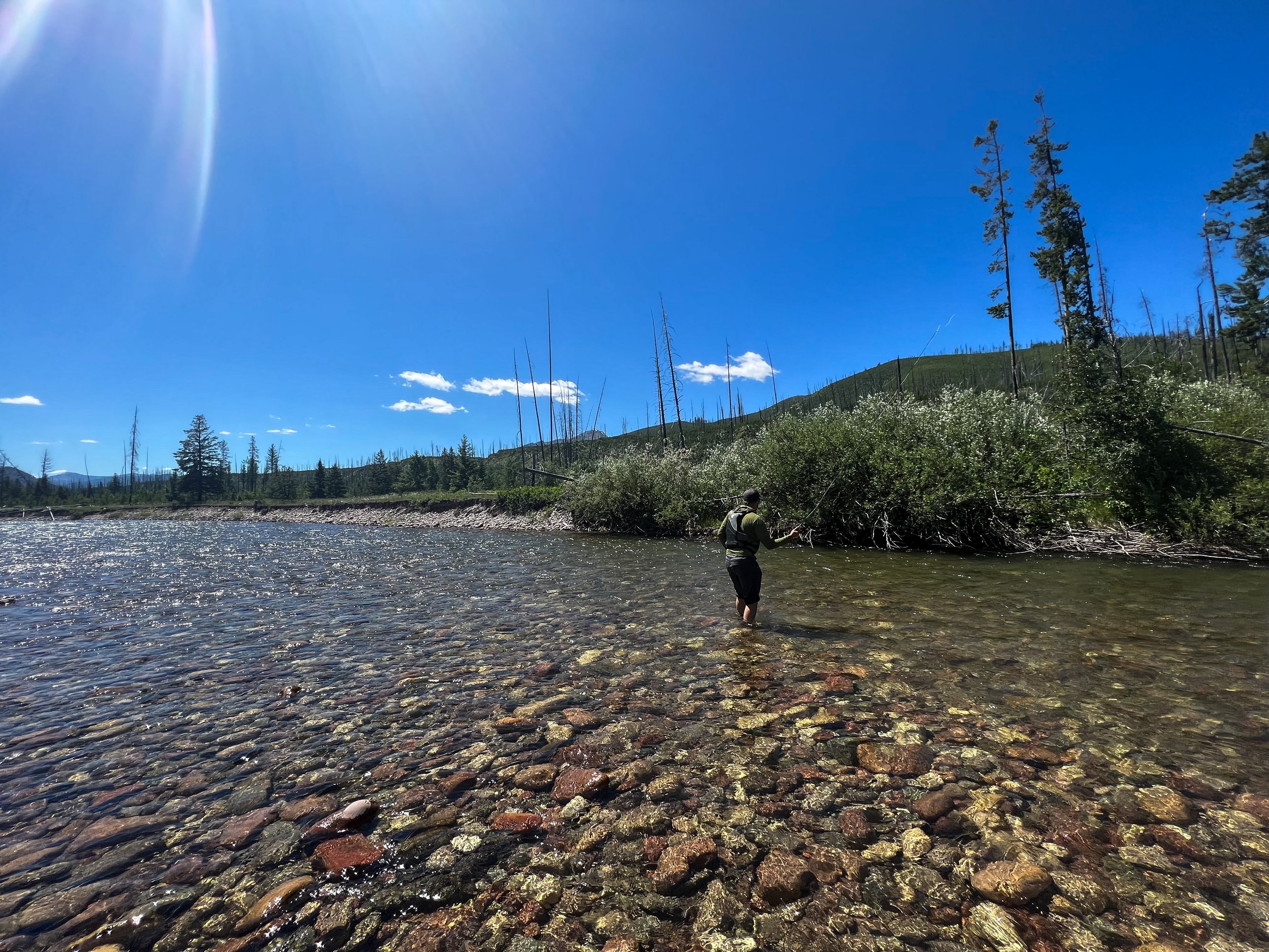
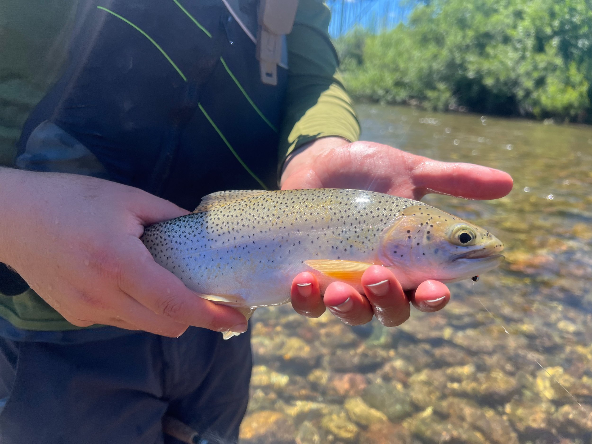
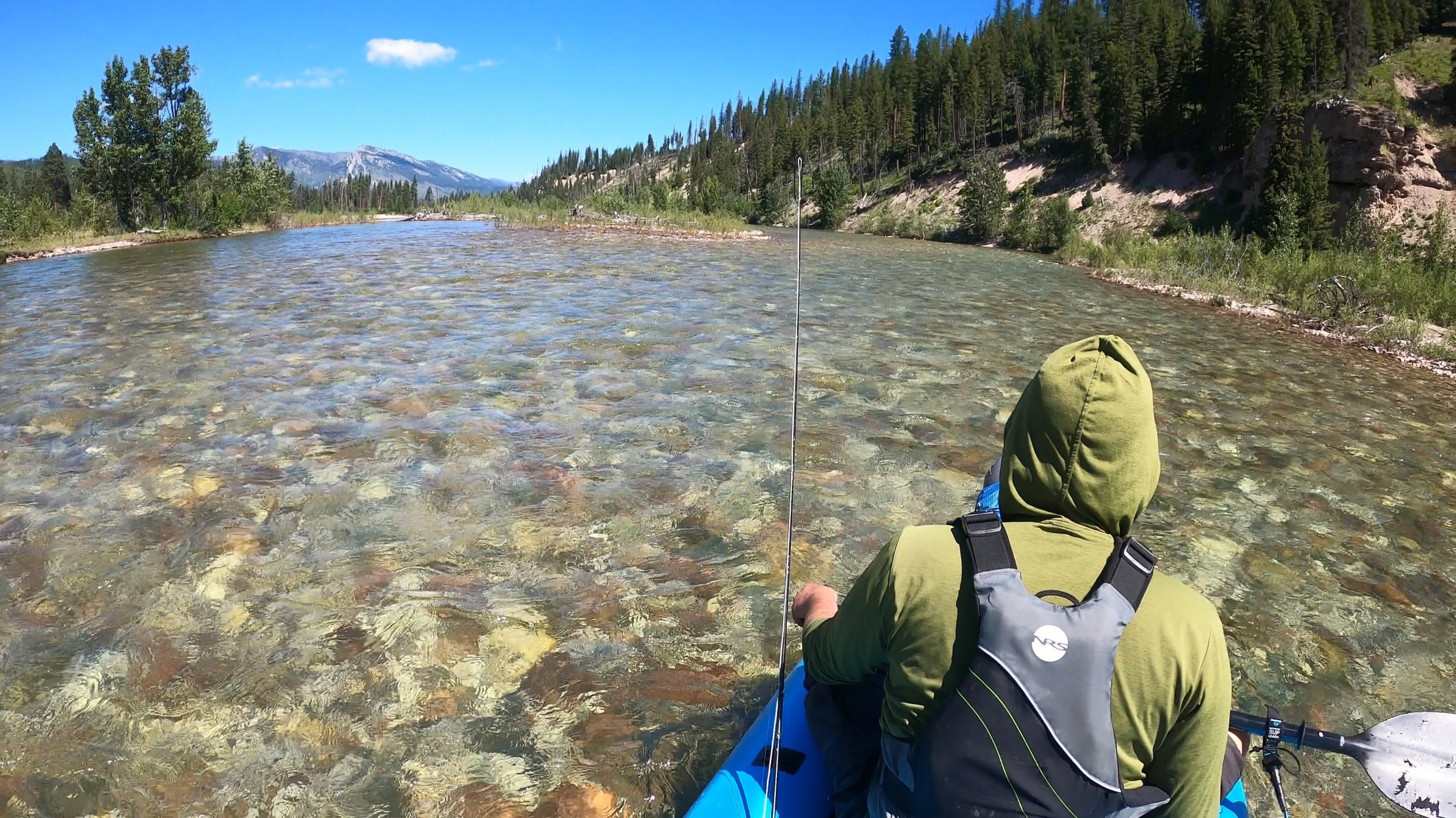
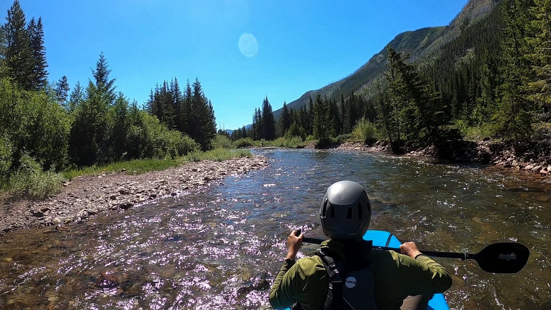
And off we went down the South Flathead River! Wow, what a dream. The river is wide and fairly shallow, although it gets very deep in some channels! Navigation was straight forward, 90% of the river was Class I floating – Class II, with 1-2 sets of Class II+ rapids that were only Class II+ because they were a little sustained boulder navigation. Huge gravel bars with side creeks line the river, and it’s not uncommon to leap frog another group all day fishing! The river ran quickly, clocking around 5mph on the Garmin! We stopped 3 or 4 times to fish, eventually finding an established campsite above the river, next to the most insane honey hole we have ever fished! We caught 37 fish in total!
Day 5: South Flathead River
Waking up next to the river was heaven, and warm. We cherished our few days on the Flathead, making a hot breakfast and fishing one more time before leaving. I think we got on the river around 11:00am?! The latest we have ever left camp evvvveerrr! Anyways, we spent another day floating, stopping at a sandbars to fish, and continuing on. The river remained easy to navigate. The sun was brutal, but the water temp. was perfect for dipping all day!
We actually didn’t catch as many fish on our second day, but we still caught a few by camp! We pulled over just below our intersection with Helen Creek (or so we thought) and made camp on the shady banks. The windows of the tent looked out onto wildflowers! This was about “halfway” on our trip, so I washed our dirty clothes in the bear can and enjoyed the. afternoon.
Day 6: South Flathead River - Pagoda Pass - Pagoda Creek
An unexpectedly long 14 mile day….
Alas, time to leave the Flathead River Valley and make our way back east to the CDT and the Chinese Wall. We decided to take out around Helen Creek and hike over Pagoda Pass because it was part of the greater Chinese Wall Trail and we wanted to avoid as many unmaintained trails as possible with the big packs. Surprisingly, the trail up Helen Creek was pretty easy to follow except for wildly overgrown willows that could knock your partner off their feet if you let go of them! This was also the only place we saw any signs of bear; one old pile of scat and thats it!
I’m not sure if they allow stock on this trail, but it was literally just a path carved into the steep hillside above a gnarly and raging mountain creek. It wasn’t scary, but there were a few points if you fell, you might cause yourself some serious damage! The trail is covered in the forest for most of the climb until the last few miles to the summit.

From the summit, you can see all the way down too Big Salmon Lake, the length of the river we just paddled, and the Flathead Alps. Another mile around the saddle to the White River side of Pagoda Pass and we were greeted with incredible wild flower meadows as the trail went almost straight down to Pagoda Creek (except the extra 2 miles in traversing switchbacks at the end not on the map!!!).
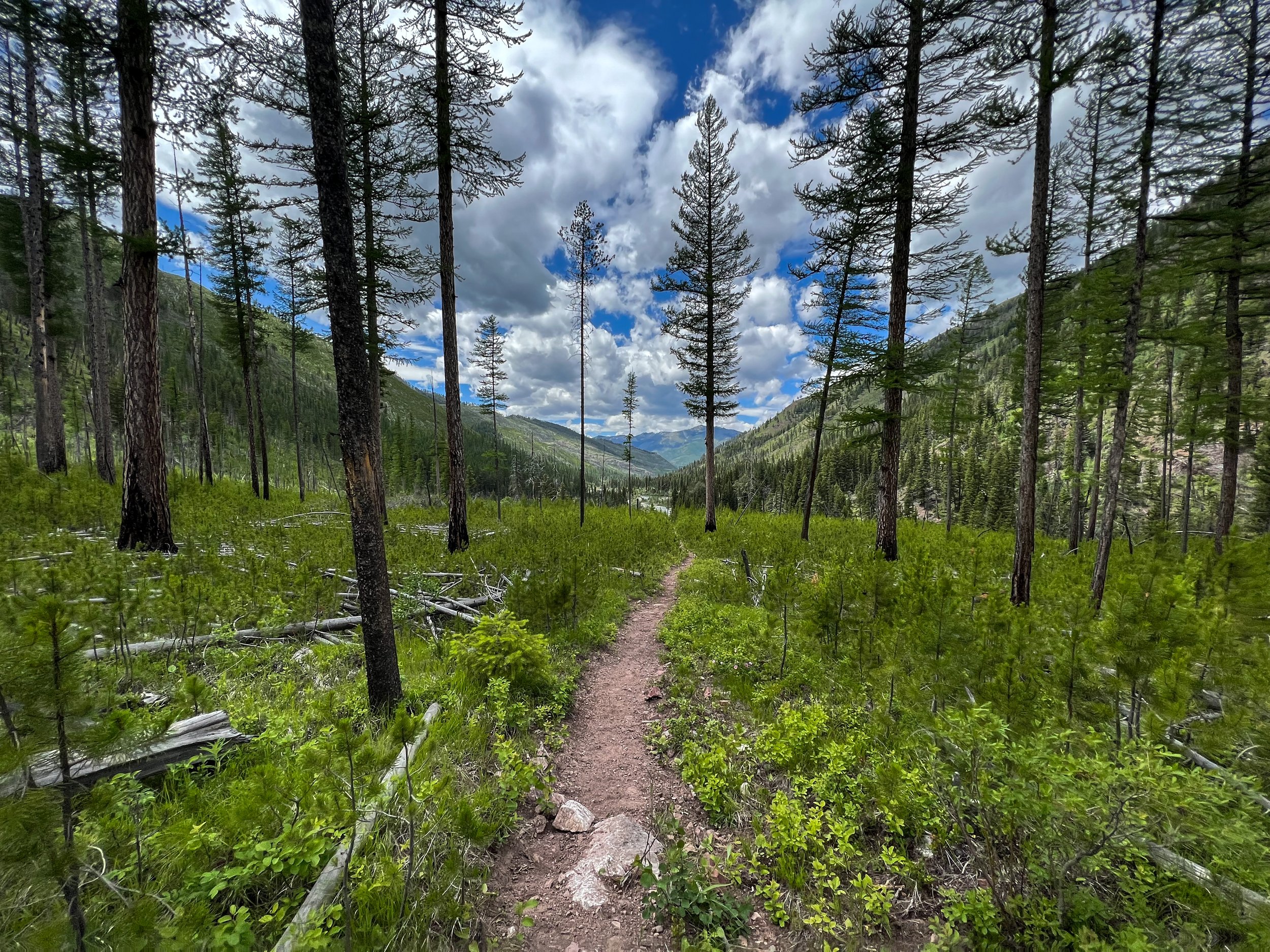
The extra 2 miles were really straining mentally, and when we finally got down to Pagoda Creek, every creek in the area was dry! We were exhausted from another 3,000ft climb and 2,500ft loss in a day, and we searched for the only water we could find without going another 2-3 miles up trail. Camp. was also difficult to find as the forest was some of the densest forest I’ve ever been in. When you walked off trail, you would most certainly find yourself standing in a pile of downed trees, sticks, moss, and pine needles layers 1-2ft thick before you could find dirt again. We made camp in the only possible area, and filled the bear can with 6L of water from a pond we found and took that to camp.
Day 7: Pagoda Creek - Larch Hill
We woke up in a very damp forest, packed up quickly, and onward we went! We crossed the creek that will eventually become the White River a few times over the next few miles, until we eventually came to Juliet Creek and the base of our climb to Larch Hill. The higher we climbed, the better the views got! From the climb, you can look back and see a stunning view of Pagoda Mountain, incredibly the pass we climbed just 36 hours before! It looks like the iconic log across the trail has finally been cut, and a long sweeping 1/4 mile trail leads you up and over the hill!

Let’s be honest, there was a fair amount of Type II fun on this trip, and although the passes were all stunning, we were absolutely spent when we got to the summit Larch Hill. I was so pooped, I even searched the summit for somewhere to stick our tent, resolving to melt snow from the last snow-patch for water because I was grumpy and simply “couldn’t take another step”. However, after a long break and an exciting scuttle up the highpoint of the pass to view the Chinese Wall, we decided to continue down to the CDT and make camp in the meadows at the base of the wall. Just as we were about to walk down the other side of the pass, a young gentleman riding a horse and leading two others came riding up the trail, following shortly by a woman with a barrel or some huge box on her back! I was perplexed! As she approached, I realized she was carrying a baby in an Osprey Baby carrier with a shade. We chatted, exchanged trail information, and both complained about how much longer the days are here in the Bob, even with a “straight forward” plan.
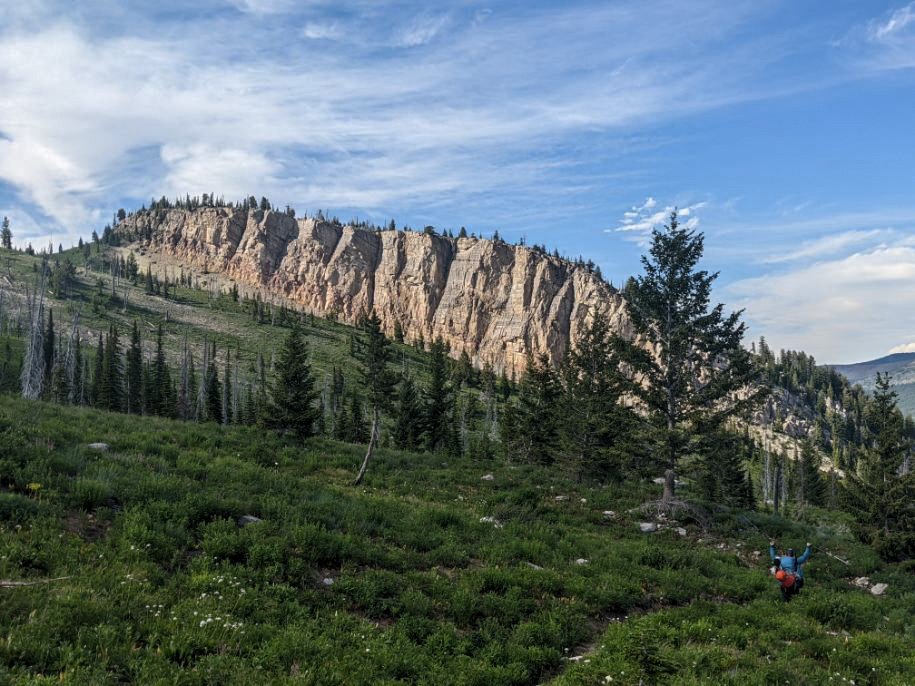
Day 8: The Chinese Wall

WOW! How lucky am I to have a body that carries me places like this!?!
We camped at the very north end of the wall and watched the first rays of sunlight creeps down the wall’s face. I have had a lot of luck in my life and have hiked in many incredibly places like the Cascades, Sierras, and even the Himalayas, but The Chinese Wall is just spectacular. The most impressive feature for me was the incredible contrast between the wall and the immediate transition to meadows of wildflowers and bubbling brooks as the last bit of snow melts from the cracks and fractures of the shaded limestone slabs.
After cresting Larch Hill, the trail officially meets back with the CDT and we are once again SOBOing the CDT this season! It feels awesome to continue my journey with the CDT this summer, even if it’s not for a single season thru hike! The trail meanders through spectacular meadows of yellow glacier lilies, overflowing seasonal creeks, and hundreds of butterflies. One 1 or 2 snow patches remained when we came through. One more “climb” up the to Salt Mountain at the Southern End of the Chinese Wall and we are home free with a few mile downhill stretch back to Benchmark. We continued to cross our fingers that we could still put in on the West Medicine (Sun).

Day 9: West Fork Medicine (Sun) River - Benchmark

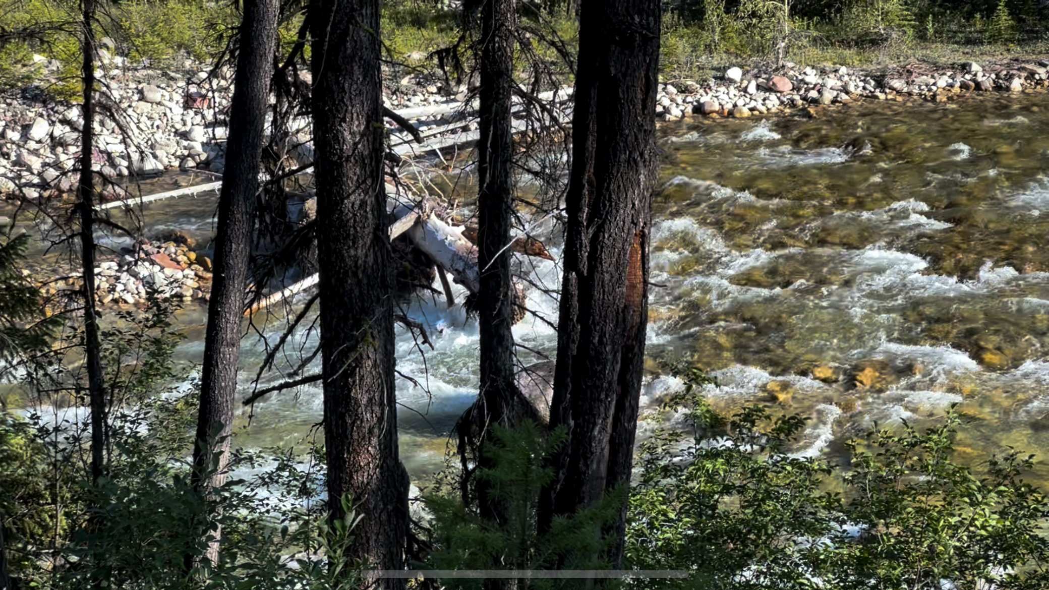
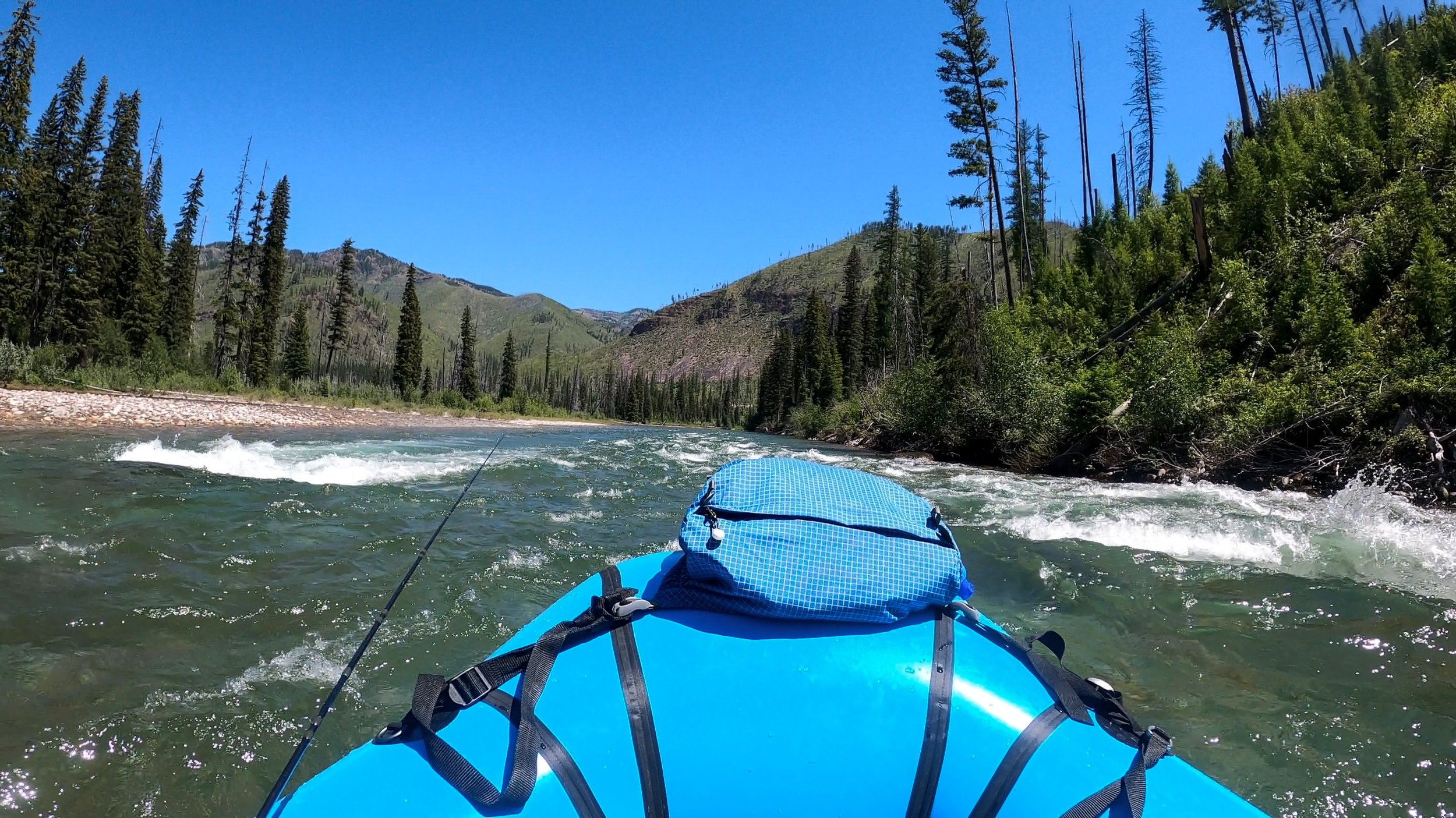
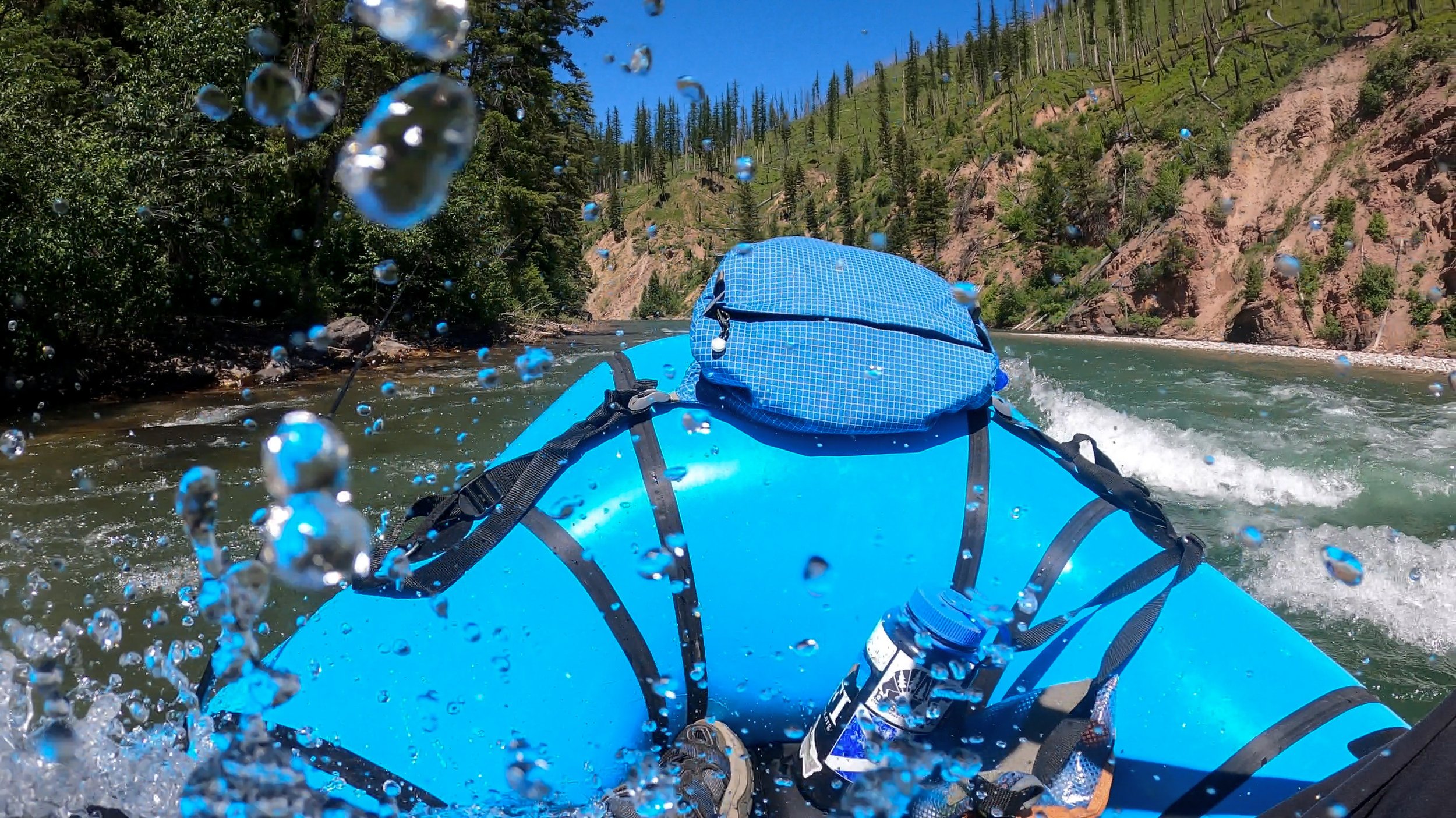
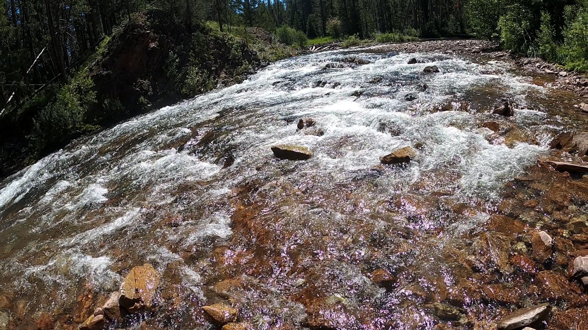
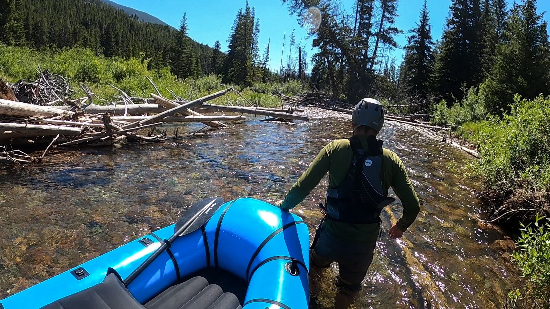
Our last day on trail and our first miles packrafting the CDT! Officially packrafted CDT miles NOBO 2748 - 2754 (which is actually about 8 river miles vs 6 hiking miles). We put in a little high on the river above a couple mandatory portages we couldn’t see from the trail, but it just made the adventure more exciting! Although the South Fork Flathead was stunning, this was. 3 hours of absolute wet and wild low water adventure. We had a couple log jams, a lot of gravel bars, I got straight up clothes lined by a tree, and our first Class III out in the wild!
The river was running about *** the day we paddled it. It was probably the lowest you could go with either a tandem or single boat. The river was relatively easy to read with plenty of warning upriver if you listen. There were 7-8 portages, most over very sharp, pointy logs, so we used our prep tarp to protect the boat from the sharp sticks! There were a few places where a full tree was lodged partially into the water and that caused a contrition, and I “oh shit” bailed and stopped the boat to avoid a bad snag.
We ran our first Class III rapid out in ze wild! In the photo below, you can see there was a nice pool at the bottom, so we decided to go for it! The line was right and traversed left, it’s actually very similar to Government Rapid on the San Juan (UT). It was scary, but we did it!
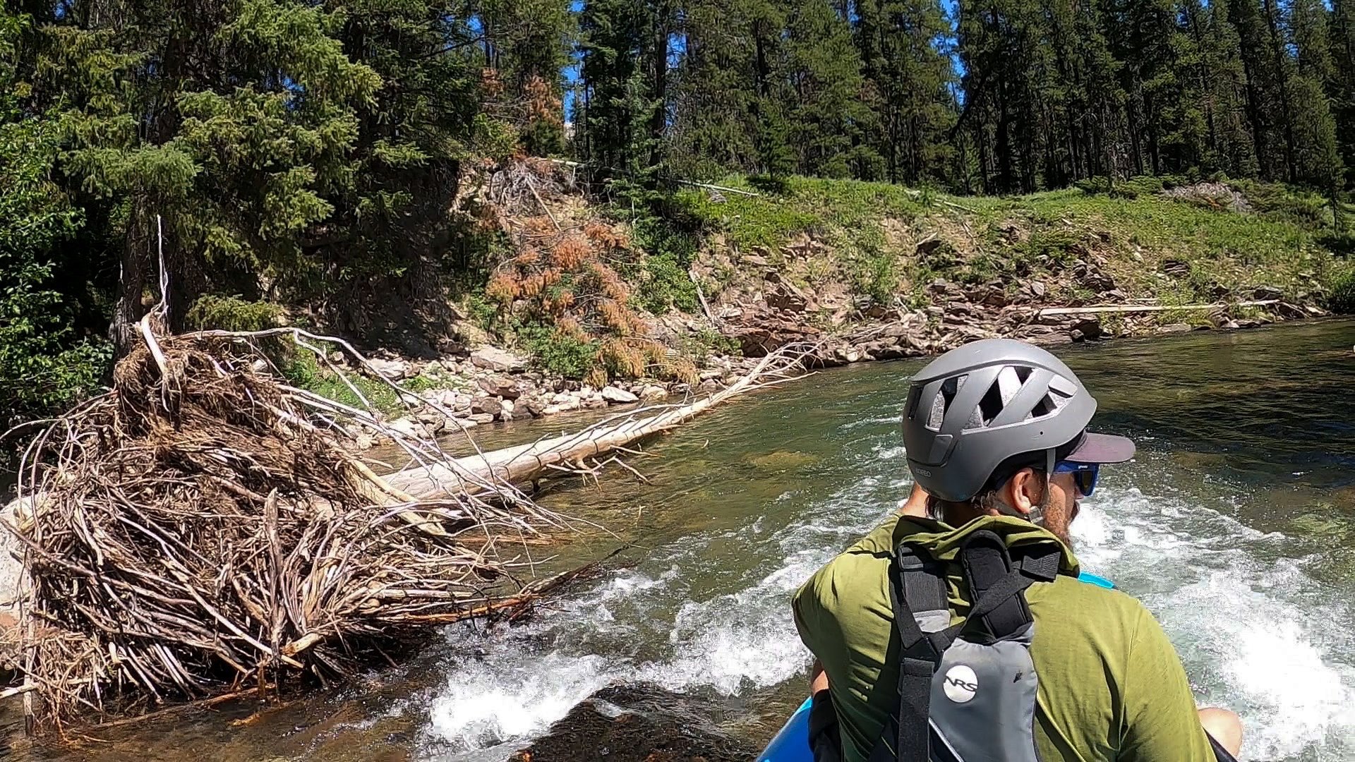
My photos pretty accurately show the major hazards we encountered. For the most part, it was low enough we could pull off in a pinch, but the sketchiest hazards were downed trees stuck partially in the channel, there were 2-3 that we thought could easily pop a packraft if you hit them. Portages were relatively easy and straight forward. We did not use our internal drybags and that was a pain in the ass for portaging because everything could slide around so much easier.
While the trail is only about 5 miles long in this area, the river is more like 7ish and took us about 3 hours to float with the various portages. We pulled out at the big bridge, made a quick ramen noodle lunch, packed up, and hustled back the. truck. WE DID IT!
FAQ’s
What maps did we bring?
Soooooooooo, we learned the hard way that EVERY SINGLE MAP printed about the Bob Marshall is WRONG except for Cairn Maps. Every. Single. One. Avenza, National Geographic, and AllTrails were all off by miles. The only reliable maps seems to be the Cairn Maps - apparently they pay people to physically walk every trail before producing the map? Anyways, all of the locals recommended them!
How was the weather?
HOT! Seriously, the coldest it got at night was the 50’s and that was in a wet creek. Bring you summer sleep system! I also recommend a double wall tent, so you can sleep without the fly and star-gaze without the bugs!
What were the conditions of the trails?
Overall, the trails were pretty easy to follow and in decent conditions. All blowdowns were removed! When it rains, the trails can get treacherously muddy in places.
How were the mosquitos like?
The mosquitoes were tolerable. We sprayed our clothes before hand.. We also brought 1 bottle of 99% DEET that we used on our clothing when we really needed it. We used our head bug nets once, but I think it will be pretty bad later in the season alone The Chinese Wall.
Did we see any bears?
Nope! Only 1 pile of scat the entire trail! We used a bear hang UrSak and bear can. In some areas, we couldn’t find a hang because it was too dense, so we tied the UrSak with a Figure 8 knot to a tree. We had no issues.