
Trip Report: Canyonlands Solo Overnight
Miles Hiked: ~ 16 Miles
Elevation: 2,000ft loss/gain
Miles Paddled: 8 Miles
Thanksgiving 2023
Temps 45-50°F Day // 30°F Night

Day 1: Big Spring Canyon Overlook to Spanish Bottom

Phase 1: Upper and Lower Salt Creek to Colorado River
Phase 1 of this loop began with descending Upper and Lower Salt Creek Canyons to Big Spring Canyon and down to the Colorado River. I brought 4 days of food with intentions of doing the whole loop, but impending snow on Friday made me think I was only out there for a night. It was a balmy 18°F outside when I woke up, I got to the trailhead around 8:30am and was on the trail by 9:00am.

A small set of laminated signs reading “Confluence Trail” with an arrow pointing left down into the canyon mark the start of the trail. After about 100 yards, you will come to a shelf that is blocked off with a log on trail right for the main Confluence Trail traffic, but you actually turn right here and head over the log, and across the shelf to the far right wall of the canyon (you will see a faint foot path). It is not marked on the Nat Geo Maps. At the far right wall of the canyon you will come to a large step down onto a pile of rocks; from there, you will turn around and downclimb a VERY SPICY wall a few moves, where you can jump the addition 10-12ft down. It’s very helpful to lower your pack first before downclimbing, as the total drop is around 25-30ft. Be safe and take your time.


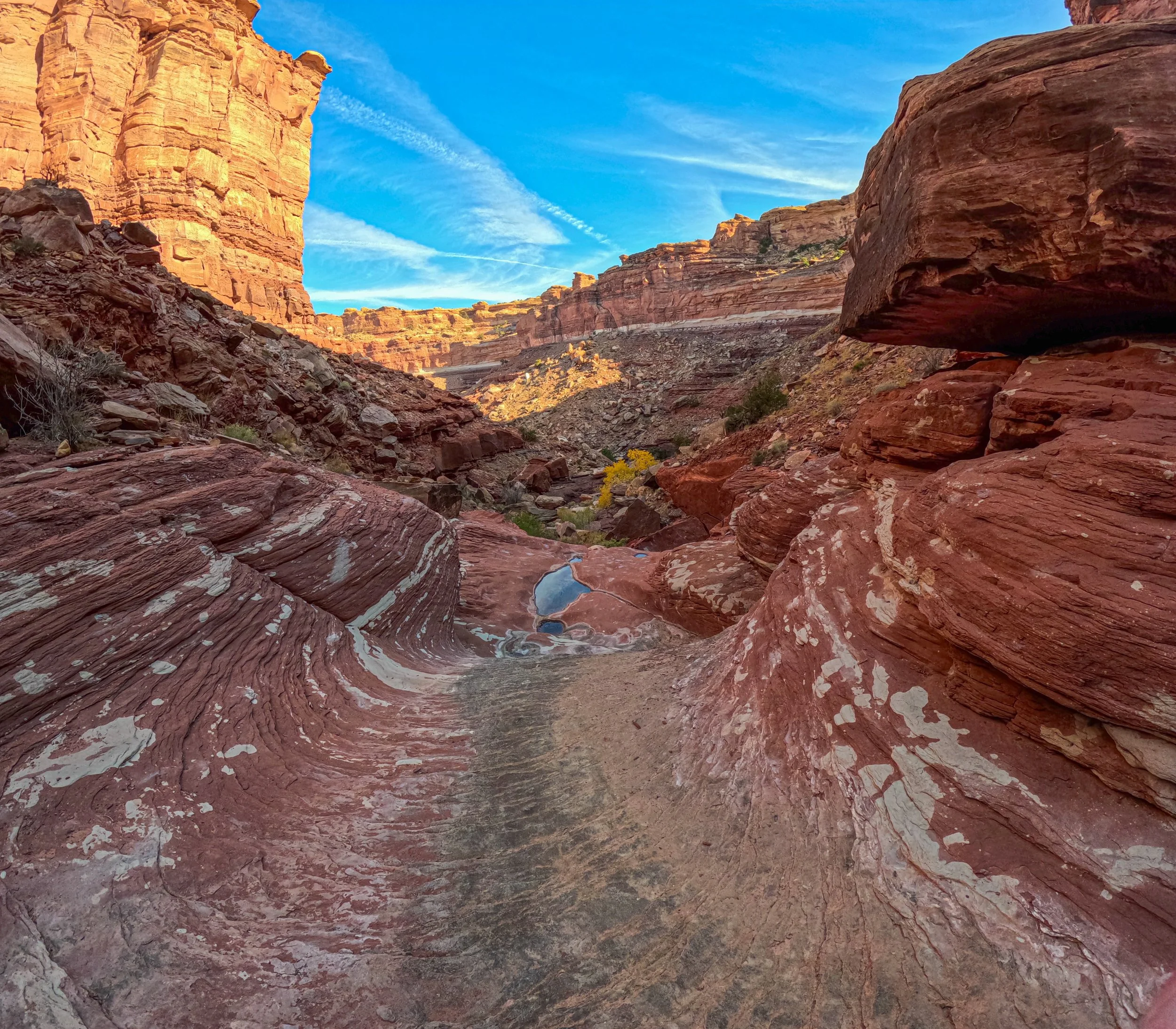
Now, it was time to boogie down the canyon. Upper Salt Creek Canyon has a decent amount of bushwacking. Because the upper creek is so narrow, the channel receives more moisture than other parts of the landscape, choking the channel with huge bushes and spikey friends. Pace in the upper canyon was slow, squeezing my way through boulders the size of tiny-homes and clambering over logs with my tall pack.
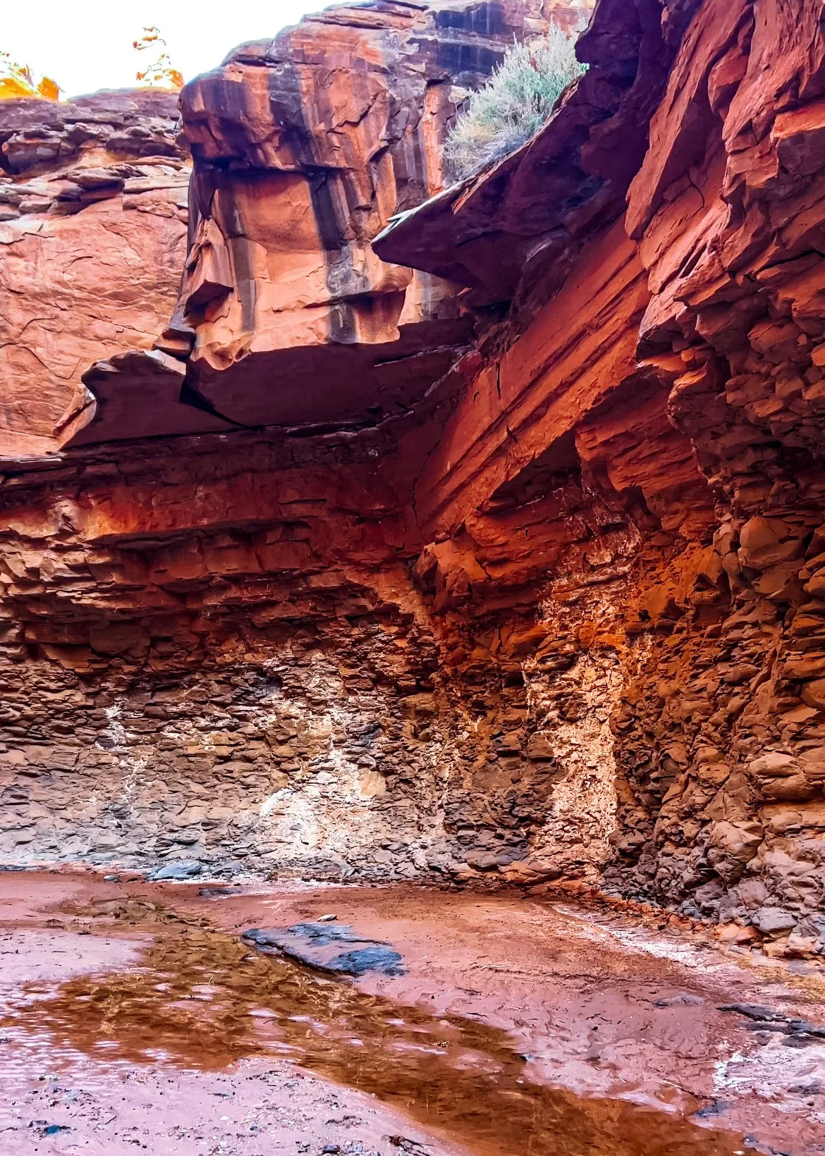
With each twist and turn, the canyon unveiled new challenges. A massive boulder wedged in a narrow passage forced me to squeeze through, a series of steps made from cascading waters that beckon me into the next cool, sandstone room. I felt overwhelmed after the first crux, but now every obstacle was a new problem to solve on my journey to the river. Towering canyon walls eventually dropped me into deep, red rooms; a symphony of water drops cascading down the walls from the previous day’s storms welcomed me into every chamber. Within hours I was hundreds of feet below my starting point, swallowed by the landscape. The flow state - I had found it.

“The smell of the wet sandstone, the cool ancient air - I was transported out of the modern world and into a place I only got go when I let myself be consumed by the canyons. This ineffable feeling, felt only in the deepest, most magical of places. This is what I came for, this is why I left the rim world, if only for a little while. I was a guest here, a stranger asking for safe passage, never forgetting how small I was compared to the deep gouges in the earth I was standing inside. I closed my eyes and breathed it all in - here, after months of fog - I am finally present. ”
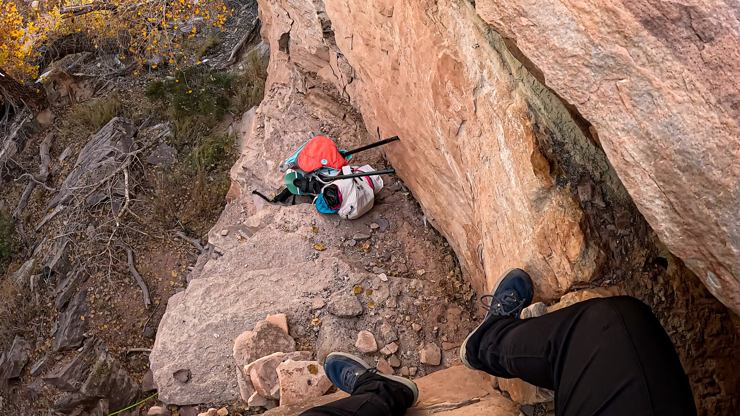
You will come to a large precipice where Upper Salt Creek turns into Lower Salt Creek - go left up and over the landscape and you will find the trail down into the canyon. (When in doubt on this trail, go left first). Once in the lower canyon, the obstacles changed from boulders to deep steps requiring lots of climbing down. There are several more drops in the canyon that I chose to lower my pack down before climbing down, but none were as spicy as the first drop, until you get to the last crux.
In the last mile before the river, there are two well maintained bolts in the rock. When I came through, there was a newer looking webbing with handholds. I lowered my pack here, braced my two feet on the wall, and then lowered myself hand under hand on the webbing. I am so glad I’ve been doing some pumpy climbs lately, because this was the full canyon experience without an actual rappel. From here, I walked down to the river.


Phase 2: Big Springs to Spanish Bottom via Colorado River
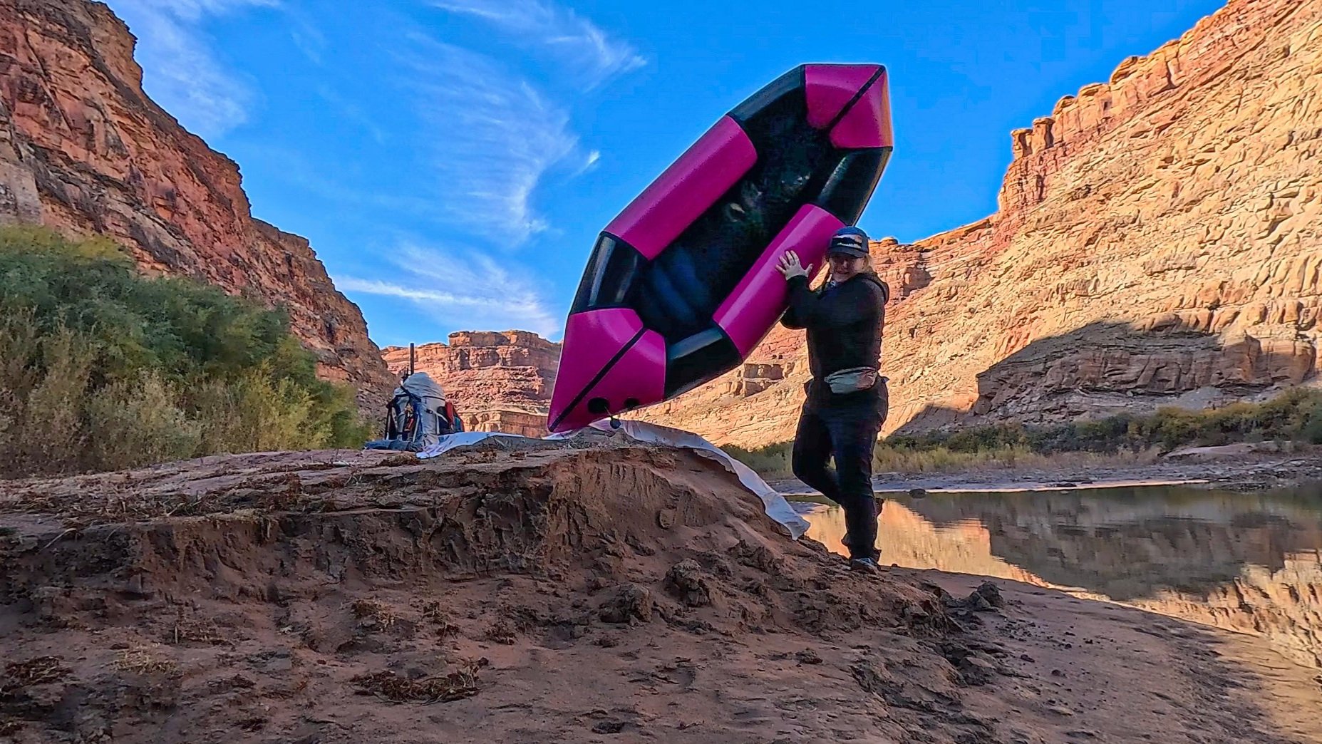
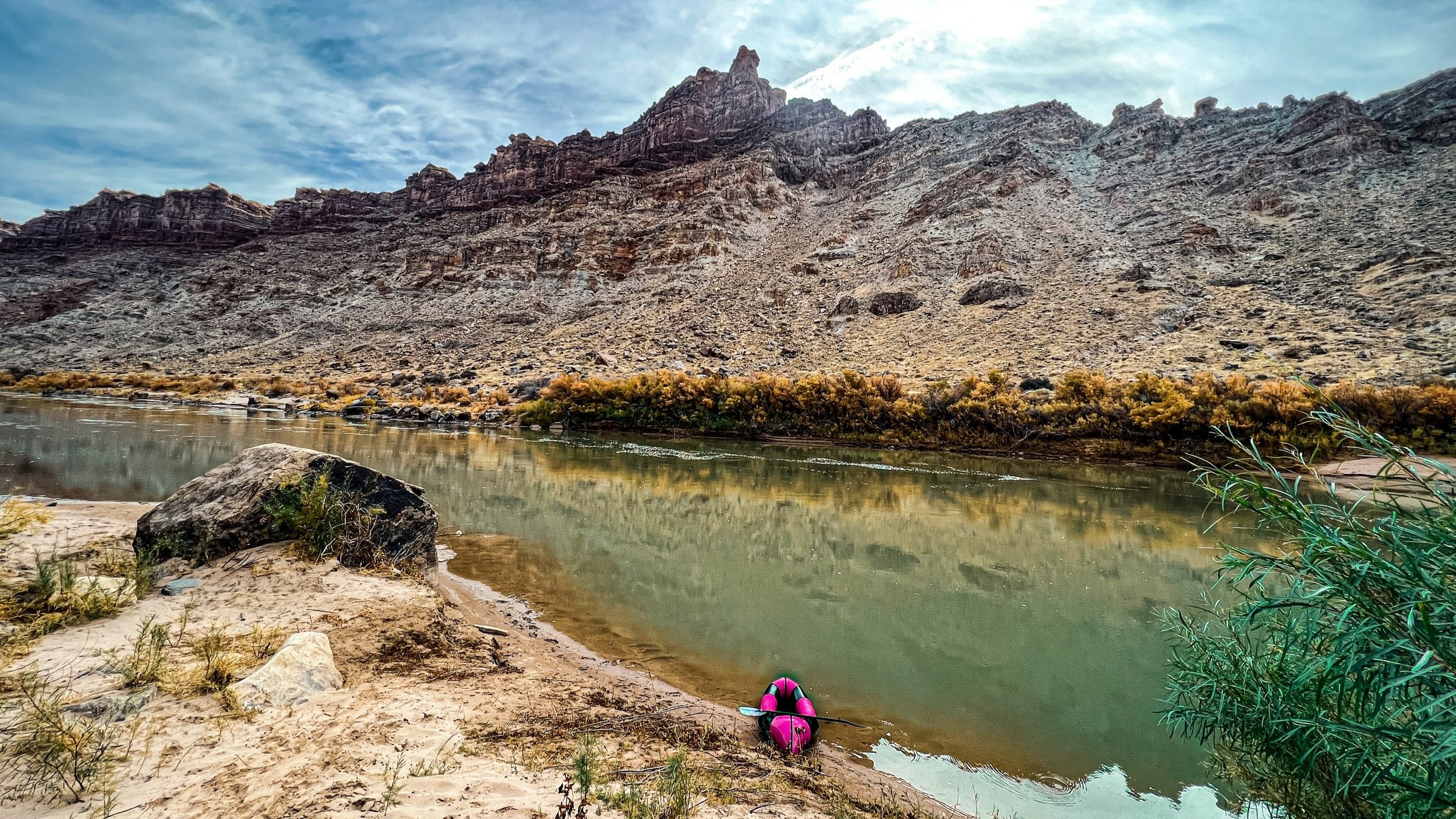
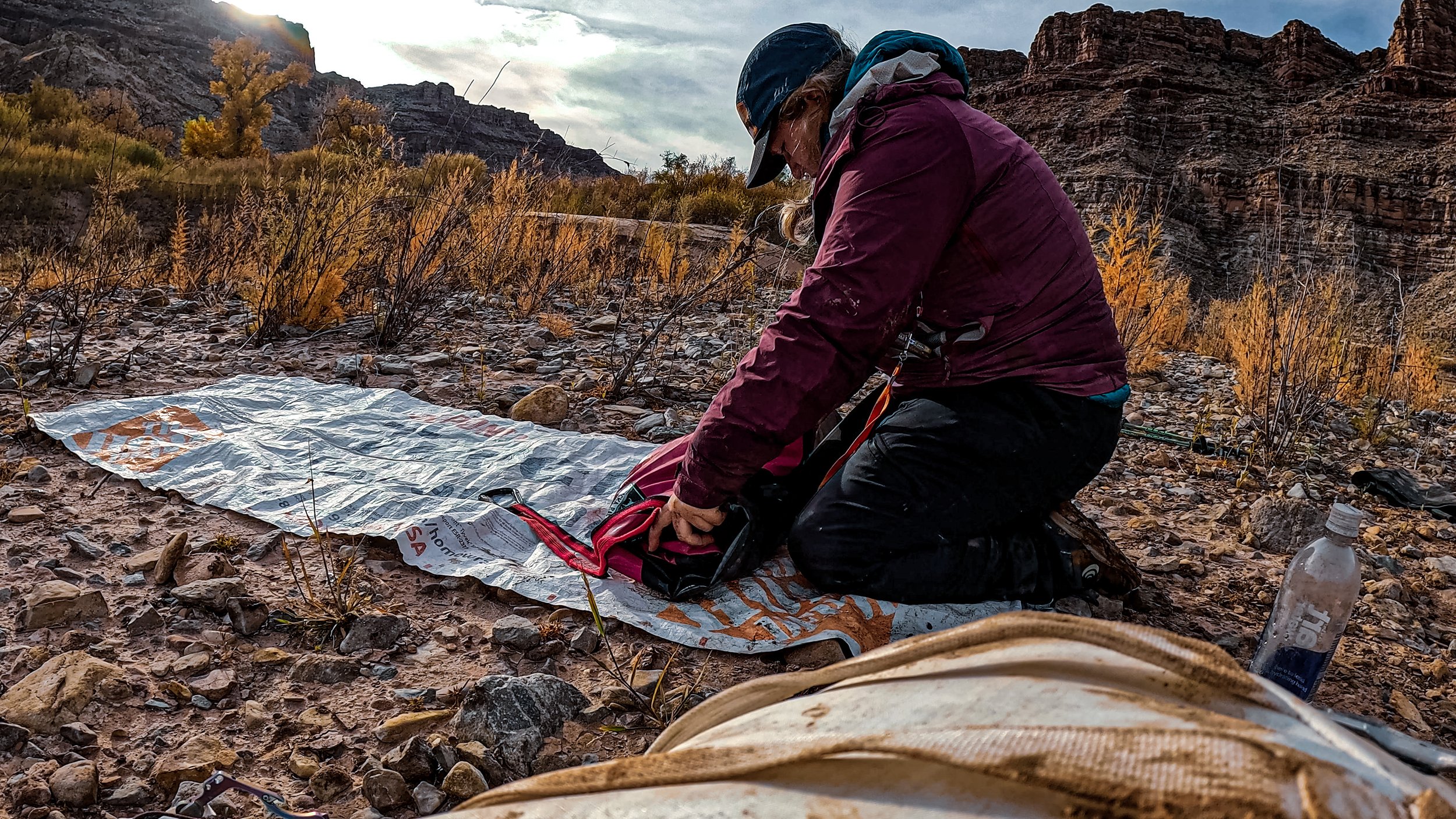
Once I got to the river I quickly switched gears and immediately got my boat inflated, tempered, and my pack ready to go. I had lined my pack with a compactor bag - which worked well to keep my gear dry, but the pack itself got decently wet and subsequently froze overnight. It wasn’t that big of a deal, but something to think about in the shoulder season. I didn’t get on the water until 1:30pm, but I figured if the weather came in I could paddle a few miles in a headwind to camp. Low flows kept the river lazy, about 1.5-2mph floating and about 3.5mph while paddling. I lucked out with pristine conditions, sunny skies, and no headwind.
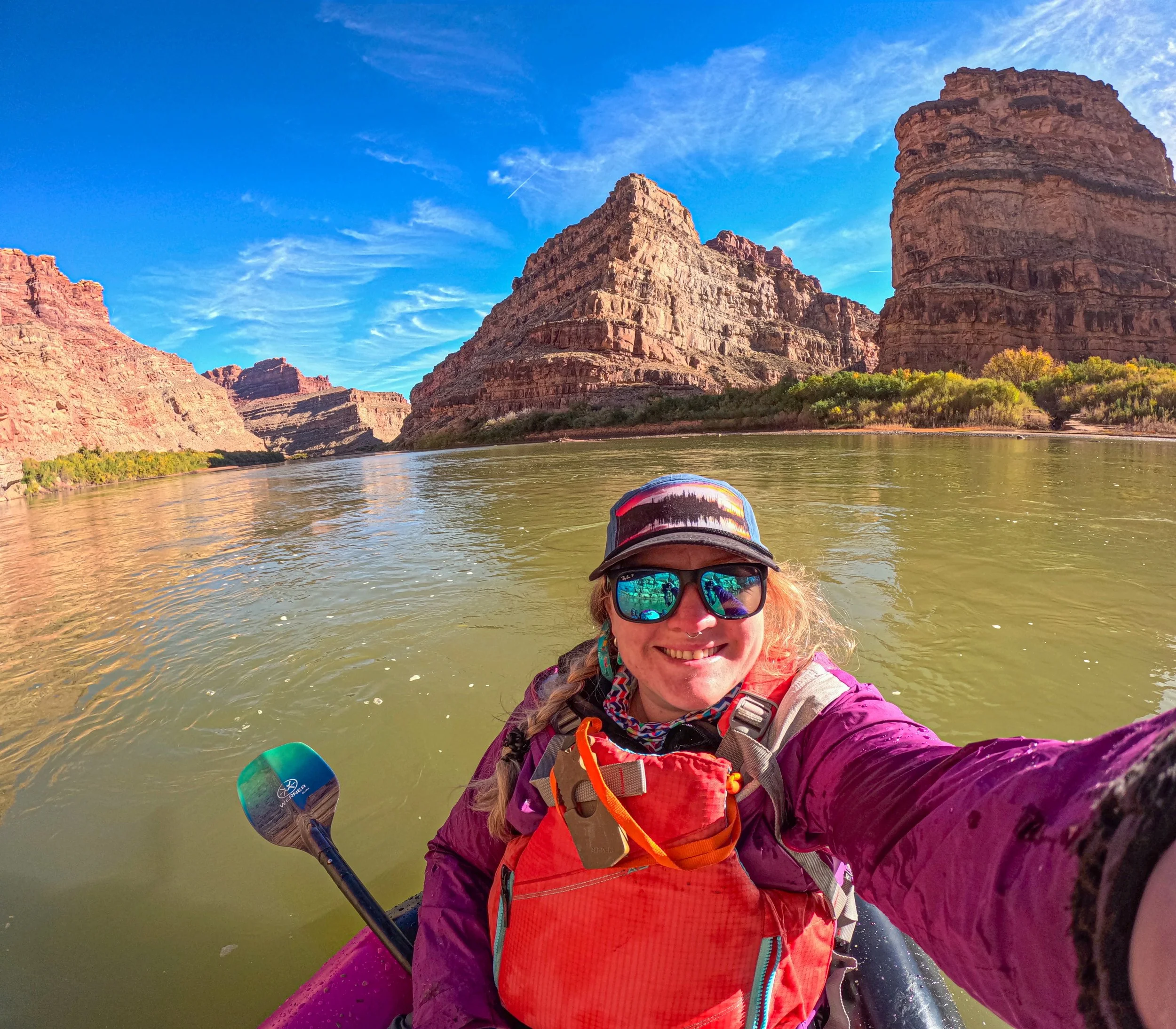

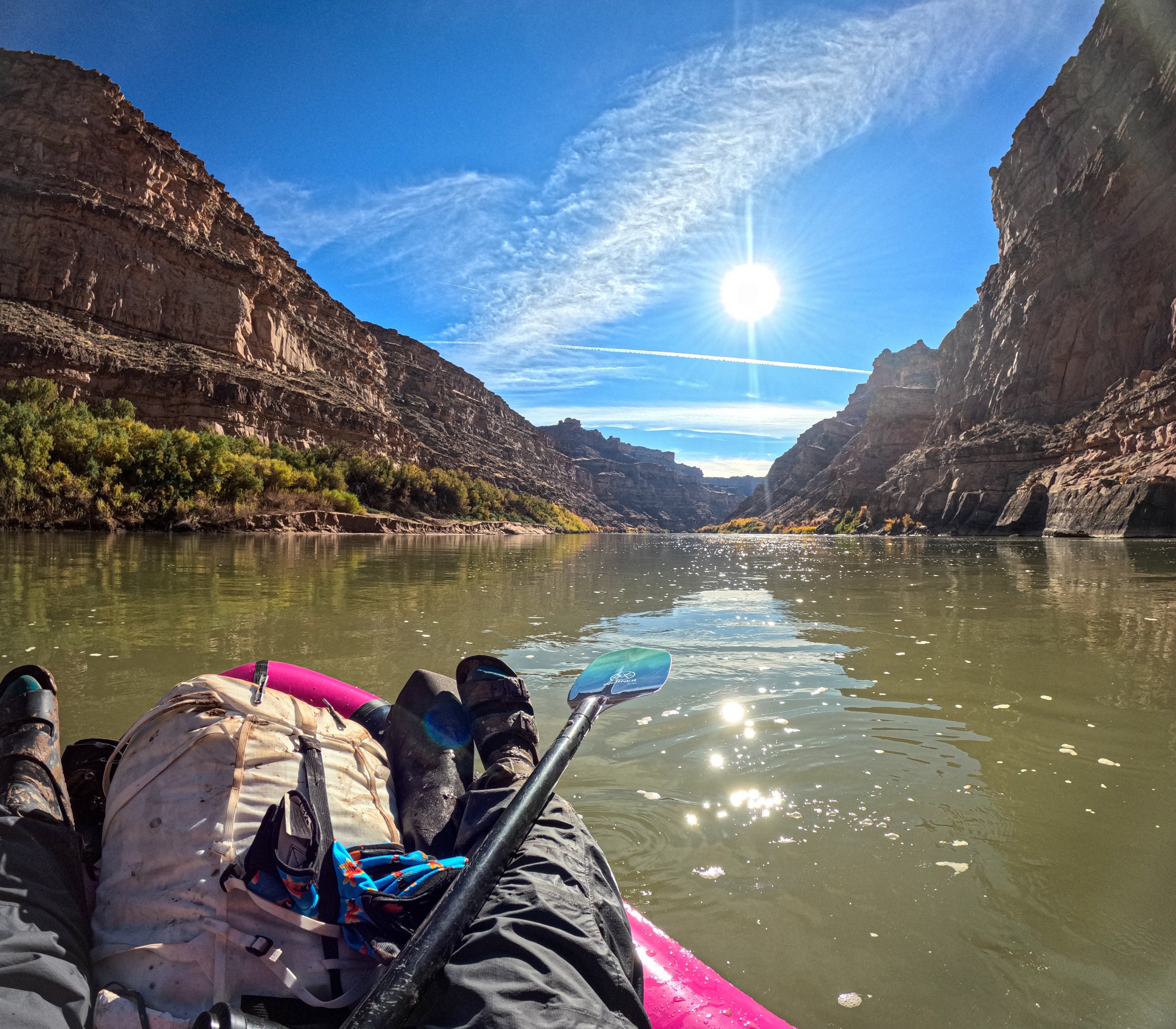
Long shadows from the towering red rocks framed the waterways, their reflections dancing on the surface like memories. The sun painted the sky in warm hues, casting a golden glow on the chiseled cliffs. A huge tower jutting out from the Dollhouse dominates the skyline as the Green curls into the Colorado. I pulled off at the first beach access to Spanish Bottom on river right. Note - at low water there are only 2 access beaches to Spanish Bottom on either end of the cove, High and Lower Spanish Bottom. Middle Spanish is not accessible.
Spanish Bottom is as dreamy as everyone says: a cove surrounded by towering walls on 3 of the 4 sides, little dolls poking their heads up from the canyon rim, a huge rockfall that is clearly the only way in or out of the place. At the far end of Spanish Bottom, the faint gurgling of Brown Betty Rapid down the river. I set up my solo tent behind a huge boulder, anticipating wind coming up river from the canyon. The night was cold, somewhere in the low 30’s, but clear and stunning.
Day 2: Spanish Bottom - Big Springs Canyon Overlook via Lower Red Lake Canyon [9.5 Miles / 2,000ft Gain]
I sent my weather text to the Garmin gods and low and behold - a huge snowstorm was predicted to hit that evening, so I opted to paddle back across the river and head back to Moab.
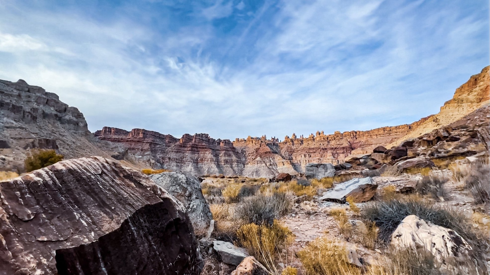
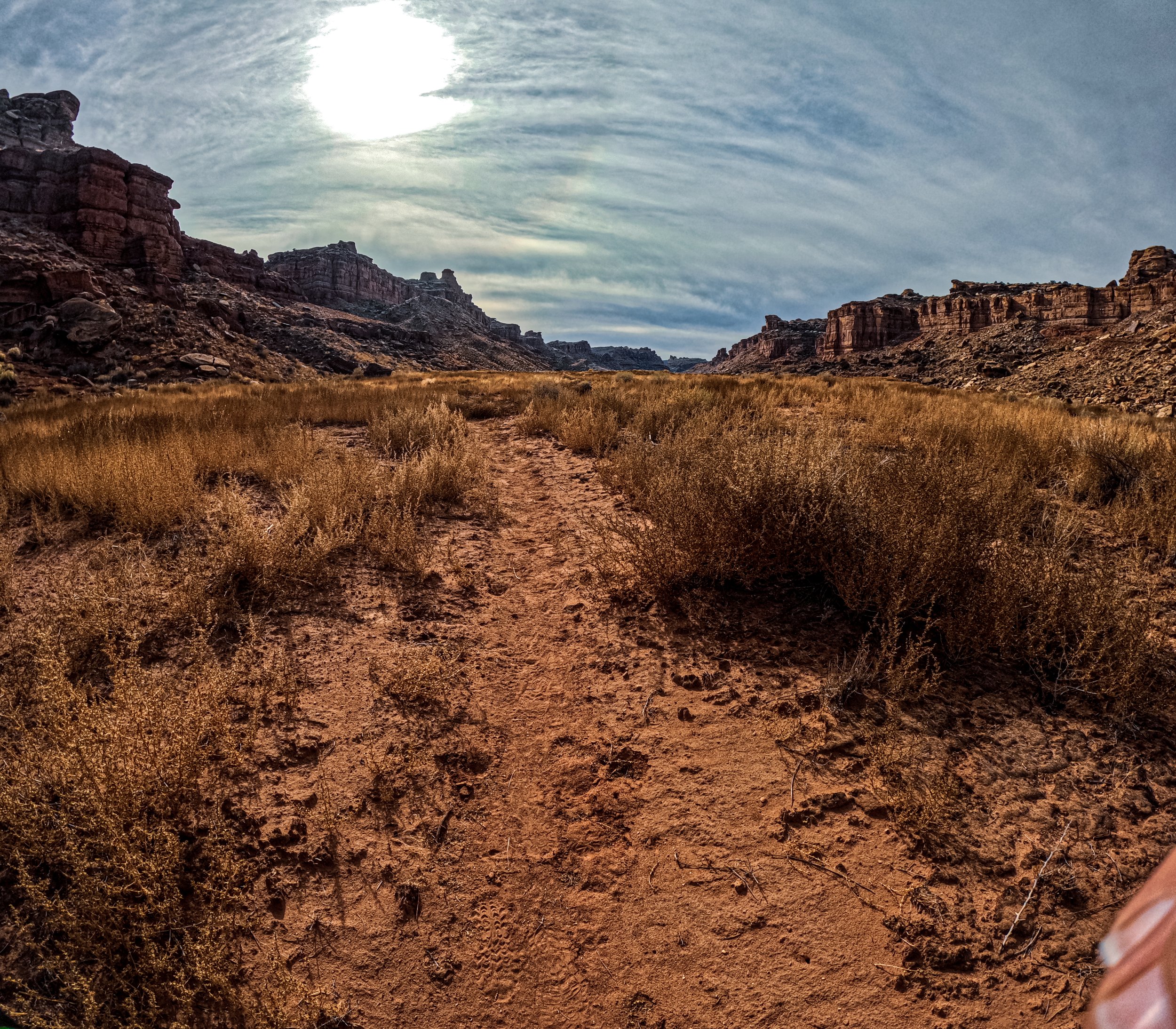
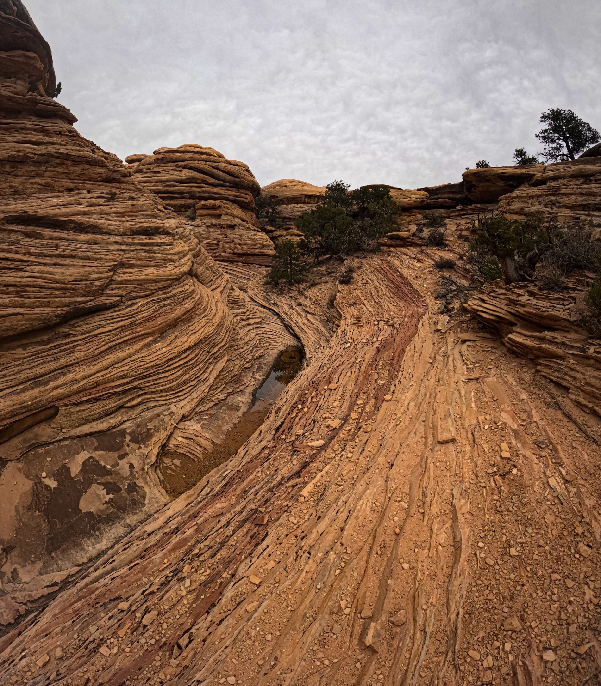
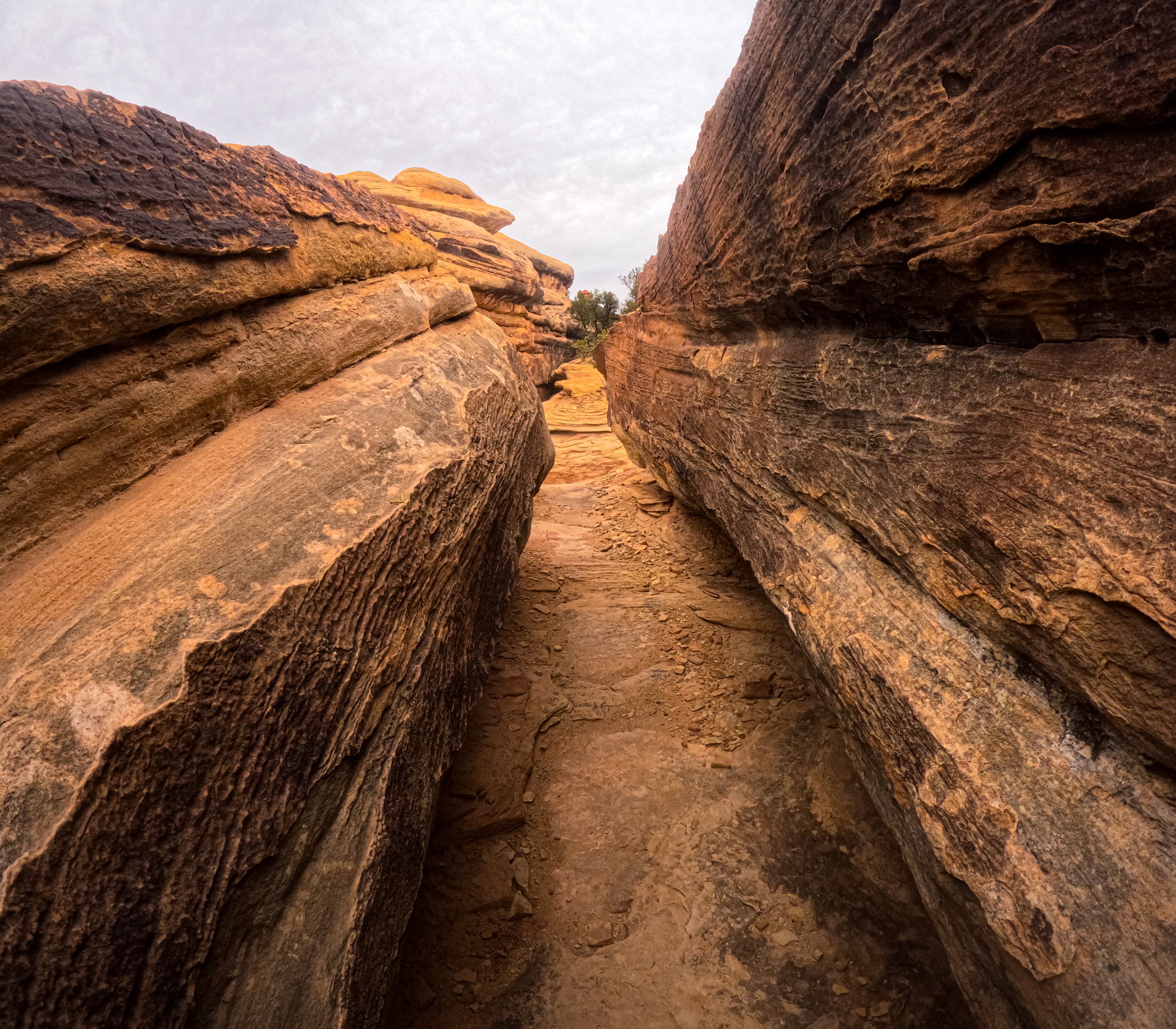
When leaving the river, if the Lower Red Lake Canyon is dry, taking the riverbed is faster than the trail; the canyon is wide at this point and hiking is easy. At 1.5 miles from the river, start looking right (up canyon) and follow a series of cairns up the trail that leads out of the canyon. It appears to go directly up the rockfall, and it does. DO NOT MISS this turnoff, otherwise you will follow Red Canyon Lake Trail to a dead end in the canyon below. The trail is in great shape and well marked, but it’s steeeeeeepppp and uneven. You will quite literally meander up the canyon wall to a rock fall that takes you to the upper plateau, and wandering through more rock falls, crawling up more stepped sandstone, and suddenly you will just pop right out of the walls of the canyons into a grassy old riverbed.
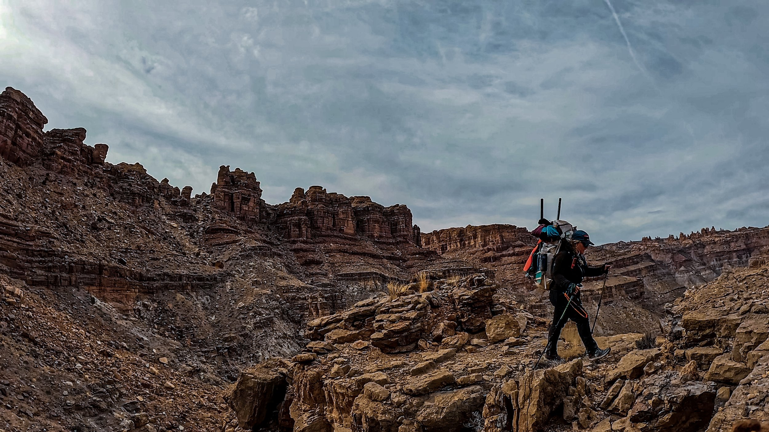

Top of canyon climb! Spanish Bottom in far background. Whew!

Upper trail out of the canyon after the climb. Lower Red Lake Canyon seen photo left.
“It was almost unreal, I turned around and suddenly the river was 5 miles away, the canyon was behind a wall of Navajo sandstone, and I was back in the rim world. Even though I still had a few miles through the Needles back to the car, I was suddenly aware of my synthetic existence again.”
You have two choices for the last few miles out of the Needles back to the car: head down Cyclone Canyon on a foot trail to where it intercepts with the Confluence Trail OR continue straight thru a small canyon and down New Bates road to the Confluence Trail. I chose the latter, hoping to make up some time on the 4X4 roads. And just to toot my own damn horn after crying the entire 2,000ft climb out of the canyon (oops- didn’t mention that part earlier) - I laid down 3 BACK-TO-BACK 16 MINUTE MILES, I crusheddddddd it after than insane climb. I couldn’t believe it, but road walks are truly a nurse’s game.
Make sure you don’t miss the turn off to connect with the Confluence Trail roughly 2 miles down New Bates Road, it’s very easy to miss. From here, it’s 3 miles down the Confluence Trail back to the car. The last 3 miles gave little reprieve, so don’t relax yet! The trail goes under, over, around, and even thru the boulders, canyons, and cliffs. Your last hurrah back to the car is a steep loss down to the canyon floor, just to crawl back up to your vehicle. The fact any human decided to explore these areas without maps and guide books is mind-boggling, but I appreciate them! Another solo spirit quest in the books for me!
Resources // Shout Outs
Fat Packs & Paddles —> Check out Graham Abrams - he and his crew have been running these trips for years with no online beta!